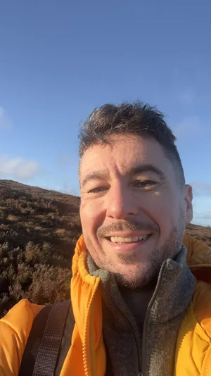
The Dingle Way
A Seven Day saga around the irrepressible Dingle Peninsula in glorious Irish April.
There is a unique kind of ease that I’ve only ever experienced on the Dingle Peninsula. The way the land feels, the Atlantic sounds, the energetic hum of the people, like a kind joke you’ve been allowed in on… it’s only really after spending a few days here that you notice that your shoulders have eased down from your ears.
That is the real reason to walk the Dingle Way. It’s not the distance necessarily, even if it helps. It’s not the days themselves, even if they feel both endless and too short. It’s more like… the reconnection of your mind and your heart that happens when the biggest decisions to make are which breathtaking spot to sit at for lunch, and which idyllic pub to spend the night in.
That's the sincere bit, and I meant all of it. Now… the honest bit.
I walked the full loop in April 2026, a fortnight after walking out of a job I'd given the best part of a decade to, carrying my camera, my daypack and a head I badly wanted to stop buzzing. I'd love to tell you I floated my way around the peninsula like a zen monk, finding myself while gliding from one revelation to the next. But the truth is, I spent a fair stretch of it limping on a knee I’d overstressed (by being impatient, on a trip meant to cure exactly that), despairing at closed cafés, and receiving a motivational talk from a cheese toastie.
This is my story about what the days are actually like.
And I wouldn’t swap a second of it.
The basics first. The Dingle Way - Slí Chorca Dhuibhne - is a roughly 180-kilometre (give or take depending on your detours) loop around the Dingle Peninsula in County Kerry. Most people give it eight days. I did it in seven - and having done so, I'd recommend you do it in eight.
You’ll see why at the end.
It's waymarked the whole way by a little yellow Walking Man (known as Elvis) and his arrows, set on wooden posts and stone markers, so you'll rarely need a map actually in your hand. Carry one anyway. The day you decide not to is the day Elvis has left the building, lost into the mist.
What I wasn't ready for was the sheer variety underfoot. In a single week you'll cross tarmac boreen roads, rocky foothill tracks, boggy clifftop moor, and long open beaches that run on a touch longer than you might think. The difficulty wanders about just as much, from flat sand you could do in your trail runners to one genuinely strenuous mountain pass that asks to be taken seriously (and should be).
It is not, all told, a hard trail. But it is one that asks you to listen to what it has to say... and it has a fair bit to say.
Day 1 — Tralee to Camp
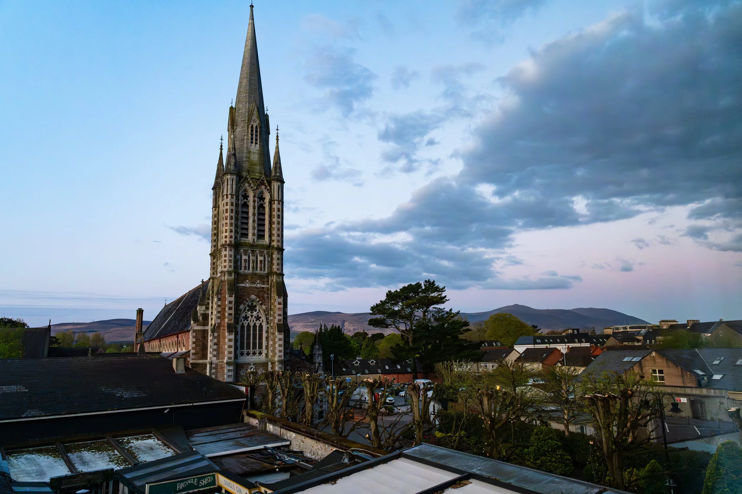
Starting day 1 looking at St John’s Church in Tralee - with the hills I’d traverse later that day in the background.
I set out from the Benner Hotel in Tralee a fortnight after leaving a job I'd held for years, and I'll be honest about my state of mind: I was in a good place, a little bit nostalgic maybe, but still too mission-orientated about recording the trail rather than experiencing it.
The walk out of town follows the canal to Blennerville (the perfect way to begin with its flat quiet water at your side), before the restored windmill rises up handsomely in the morning light. I was full of the joys of a new trail as I stood beside it for a moment and let its history ground me slightly: this was the main port for emigrants leaving Kerry during the Great Famine, the last of Ireland many of them ever saw. At least for me, I knew I’d be looping back to Tralee in a few days at worst.
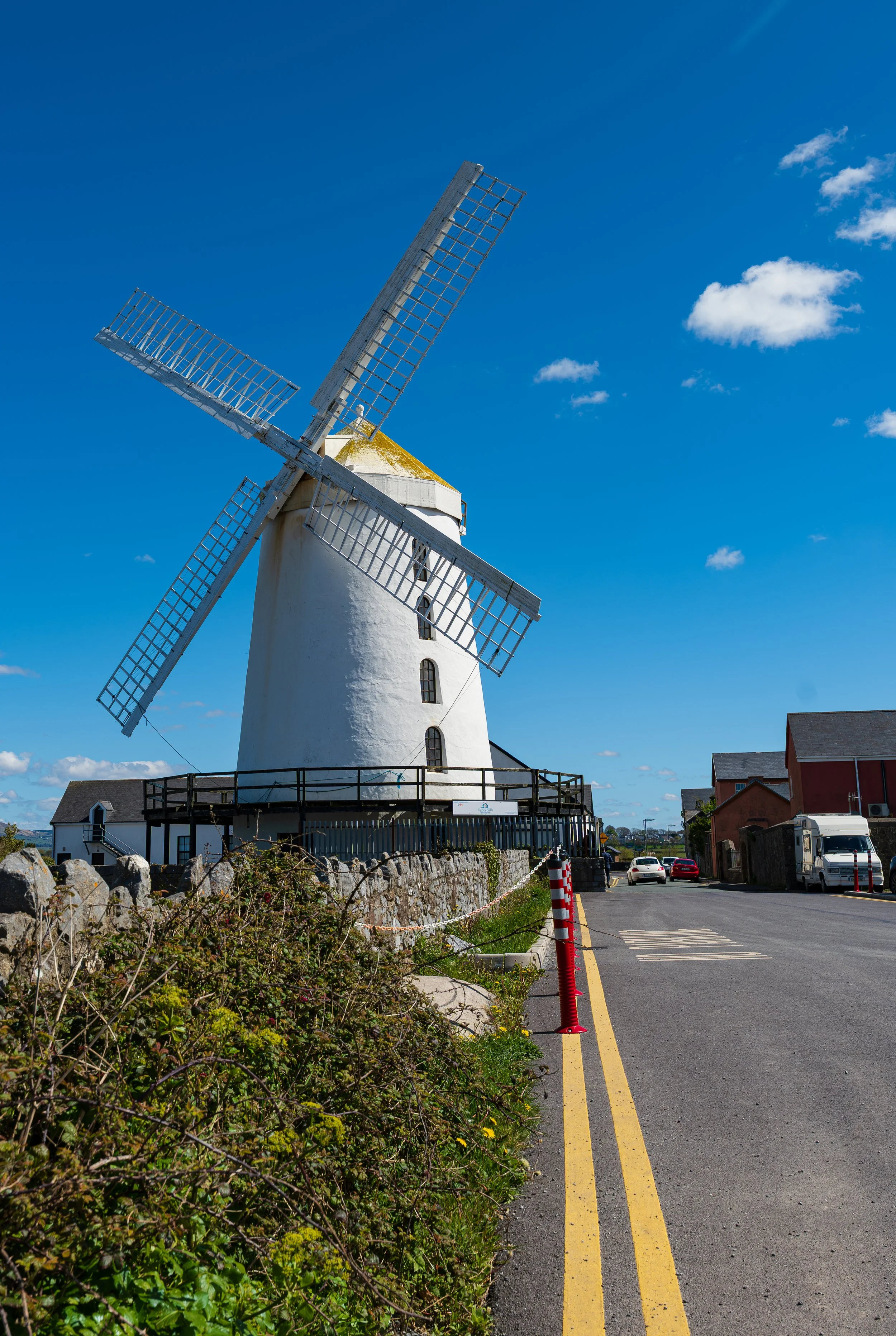
Blennerville Windmill
From there the Way climbs toward Tonavane along paved roads, past houses and farms until the path breaks out onto the open mountainside, carved into the slope above the bay. It’s stunning, with the view opening up, the ocean bright like silken sheets in the sun off to my right. And if I’m completely honest, because I think you should know it before you go: this stretch tested me, more than I want to admit really. The trail here runs almost dead straight, visible for kilometres ahead, and the scenery creeps along except where a river crossing breaks the rhythm. I felt the monotony of it sink in a little, feeling frustrated (how can I make this interesting for the film?) - and then caught myself, because I was walking a mountain in Kerry with nowhere I had to be, get over yourself man and enjoy the privilege.
Oh, but the trail didn’t forget to remind me of my hubris a few days later.
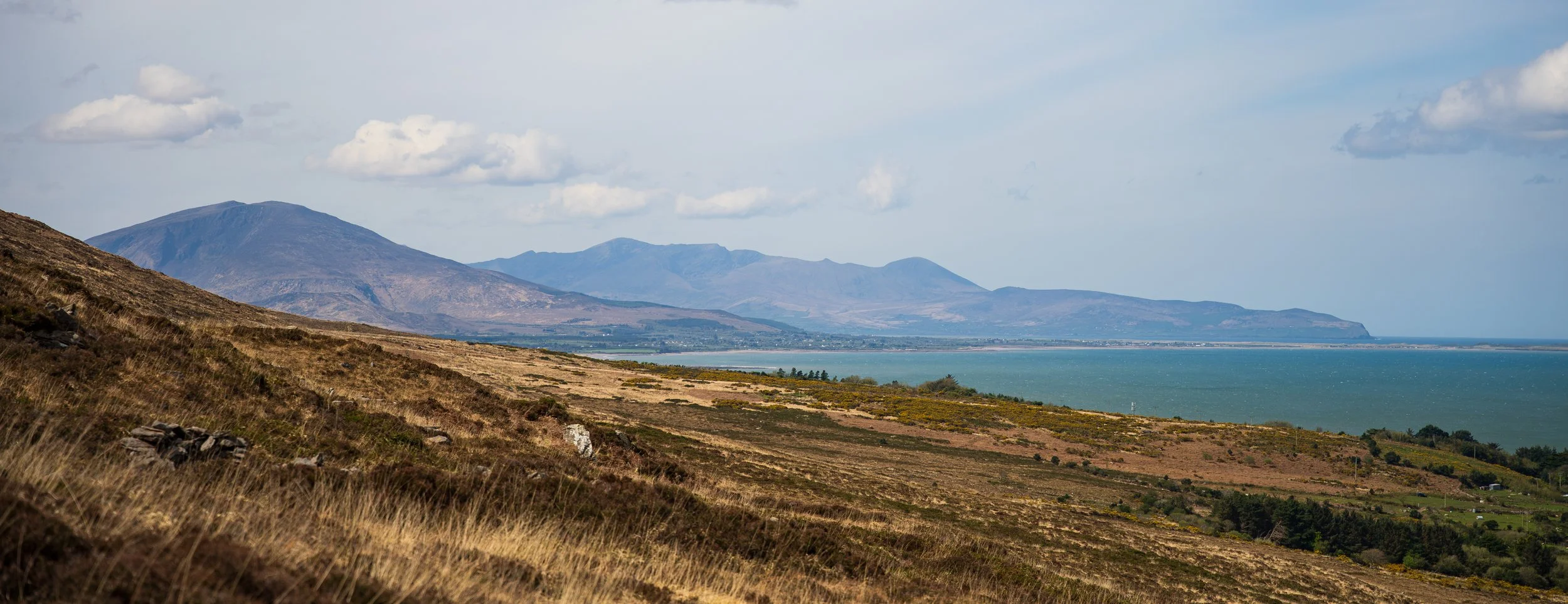
Mount Brandon in the distance, waiting.
The land starts to change near Killelton, the old "lost village" half-reclaimed by woods and ivy, and it came as a nice change of pace after the long open traverse. I wasn't quite alone out there, either: all day I'd been hop-scotching a family of hikers (Dutch, I think), the two of us trading the lead so often it turned into a kind of joke as we’d pass - ah it’s yourself again. We ended up leapfrogging each other for days.
I finished in Camp at the Junction Bar with a pint of Guinness and a plate of fish and chips, legs a little surprised to be tired already, then walked up to Camp Junction House, a spacious, genuinely quiet B&B and exactly the right kind of place to close a first day.
Day 2 — Camp to Annascaul
The legs were fine the next morning - Day 1 after all was straight and low-elevation - so I started back up the hill out of Camp after a hearty breakfast. The first real obstacle is the River Finglas, and despite its reputation it's an easy crossing today: the stepping stones have been reinforced with metal bars for grip and there's a sturdy rope to hold, so you'd need a serious flood before you got your feet wet. As I was filming here I got a surprise while setting up by a couple who hiked into my viewfinder, and I’m sure they were just as surprised about the man hiding in the bushes with a camera pointed at them.
The wind was something else that day, properly strong, and I was grateful to have it at my back rather than my face.
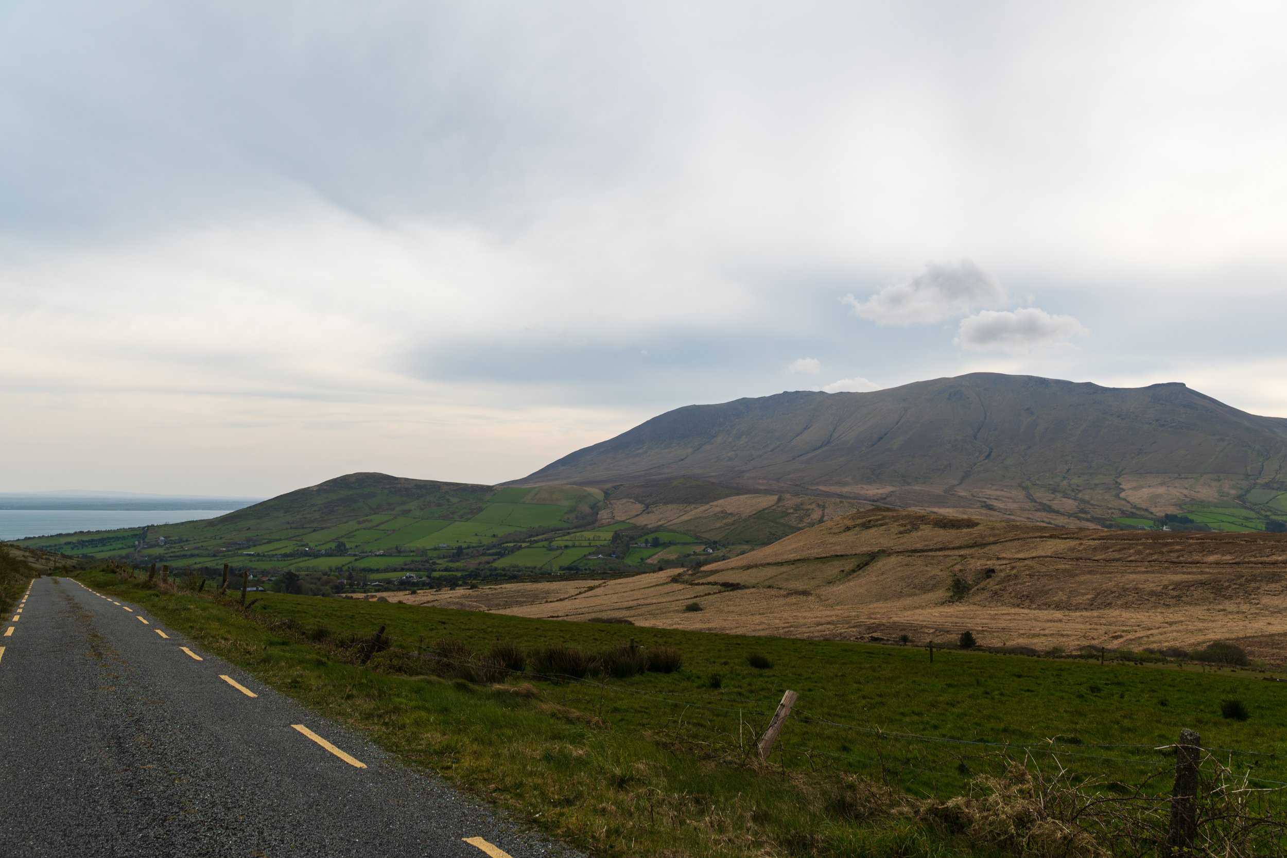
Never forget to stop and look back every now and then.
Past the river, there's a little more tarmac before the trail tips down into a glen and breaks out onto open track. This was the most beautiful stretch so far, moody and authentic in a way the first day never quite managed.
I fell into step for a while with an American girl walking the Way solo, who was a bit mystified as to why I was hiking with a tripod in my hand instead of trekking poles, like I'd stumbled on some ultralight hiking hack. Explaining myself was becoming a recurring theme. It was always funny to see them light up - oh do you do this professionally? - and then me being like no, sorry I have no idea what I’m doing really. The deflation in their face was always a hoot.
The track carries on through a patch of forest and back to road, and then you reach Inch, where the whole landscape opens out and hits me squarely in the feels: across Dingle Bay the MacGillycuddy's Reeks rise blue and distant on the Iveragh Peninsula, a throwback to my first long distance hike on the Kerry Way. Reminiscing about the trek where I walked 200km in boots a size too small (not recommended for the aul toes), I had my lunch on Inch Beach, hunched in the tent outside the closed Sammie’s while the wind flung sand sideways past me, and it was somehow perfect anyway.
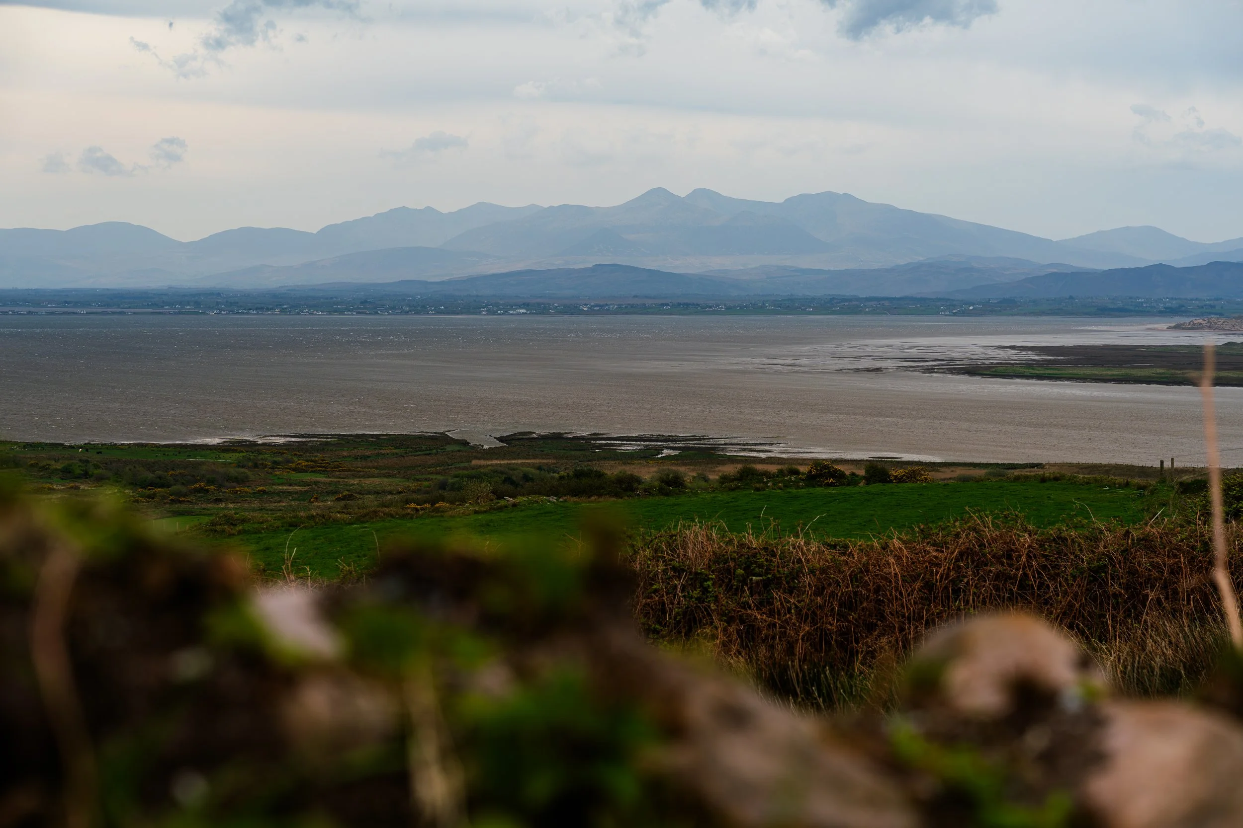
The Macgillicuddy Reeks standing witness in the distance.
From there it's an easy run into Annascaul. I'd half-planned to stop at the South Pole Inn like a good tourist, but it too was shut the evening I arrived, mid-handover to new owners. A small disappointment, and a reminder that even the landmarks are living things.
So I checked into the lovely Old Anchor Inn (festooned with Dingle Way mementos; I indulged), washed the day off, and walked over to Patcheen's where, sure enough, the Dutch family and the American girl turned up not long after me. I ate an outrageously good nduja and hot honey pizza with a pint of Dick Mack's IPA, and another for the road as I raised a toast to the next day's destination: Dingle.
Day 3 — Annascaul to Dingle
This was the day the distance started to make itself known. The first leg, Annascaul to Minard, felt familiar with its tarmac road, easy ascents, and more hop-scotching with the motley crew of walkers we'd assembled without ever quite meaning to - the Dutch family, the American girl, now joined by an older Canadian man; faces that kept surfacing and falling back along the trail.
Minard Castle itself was the perfect place to pause. The 16th-century castle stands over a storm beach of huge, perfectly rounded boulders - I sat on the rocks a while with a snack and just listened to the waves work the stones over, in no hurry at all.
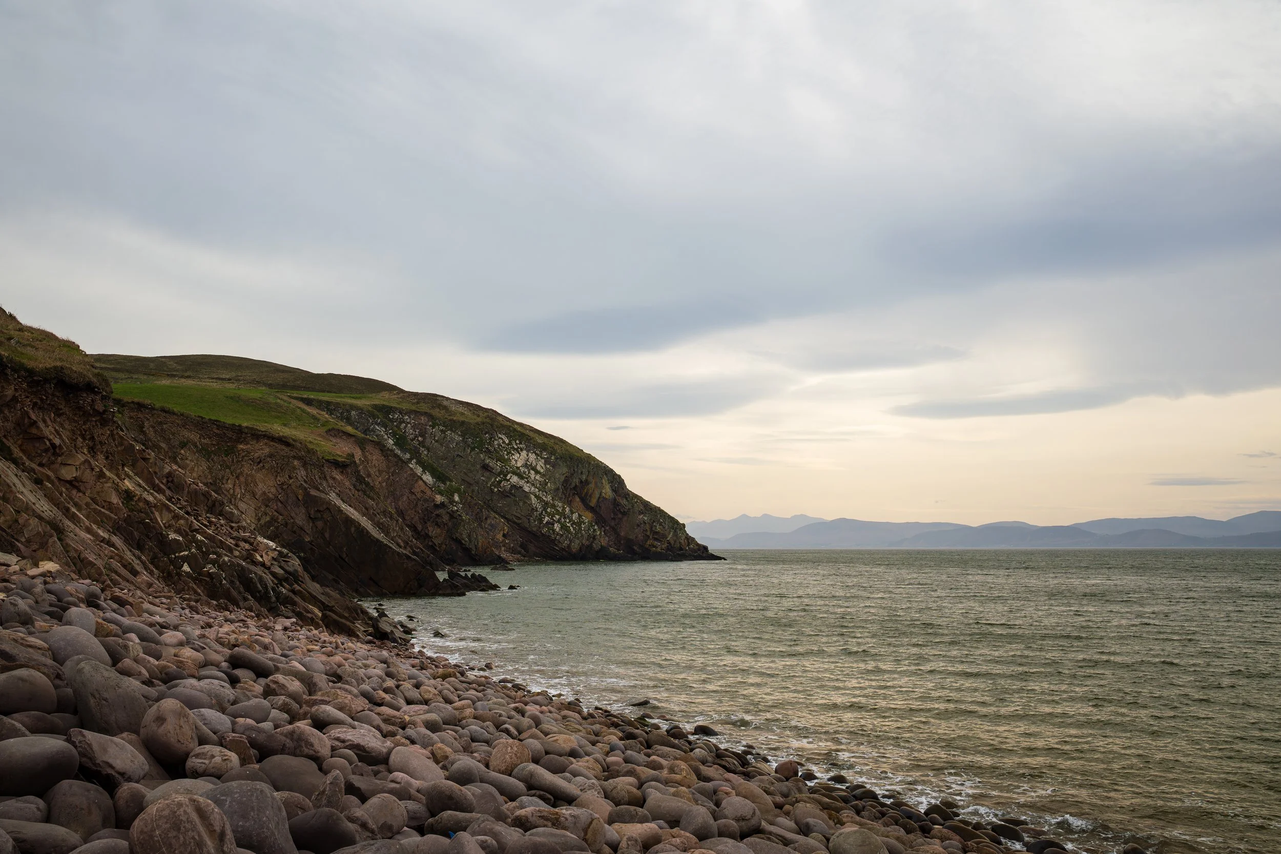
An idyllic spot for a snack on Minard Beach.
Nearby is the holy well of John the Baptist, said to hold a sacred trout - the lore says that if you see it, your wish or your cure is granted. More specifically (strangely specific actually), the water itself allegedly holds a cure for headaches. Which was fortuitous, because I get some fun migraines, so I figured what’s to lose and went to pay the holy water a visit. Tasty. No real fishy aftertaste, thankfully.
The middle stretch, Minard to Lispole, honestly was the low point of the day: steady grinding on tarmac-heavy paths, a touch monotonous, my only real company here being the clouds of St Mark's flies that hang in the Kerry air in late April. I reached the shop in Lispole just as the Dutch family were leaving it, so I had the outdoor benches to myself, glad of the rest, but feeling the road in my legs and my patience.
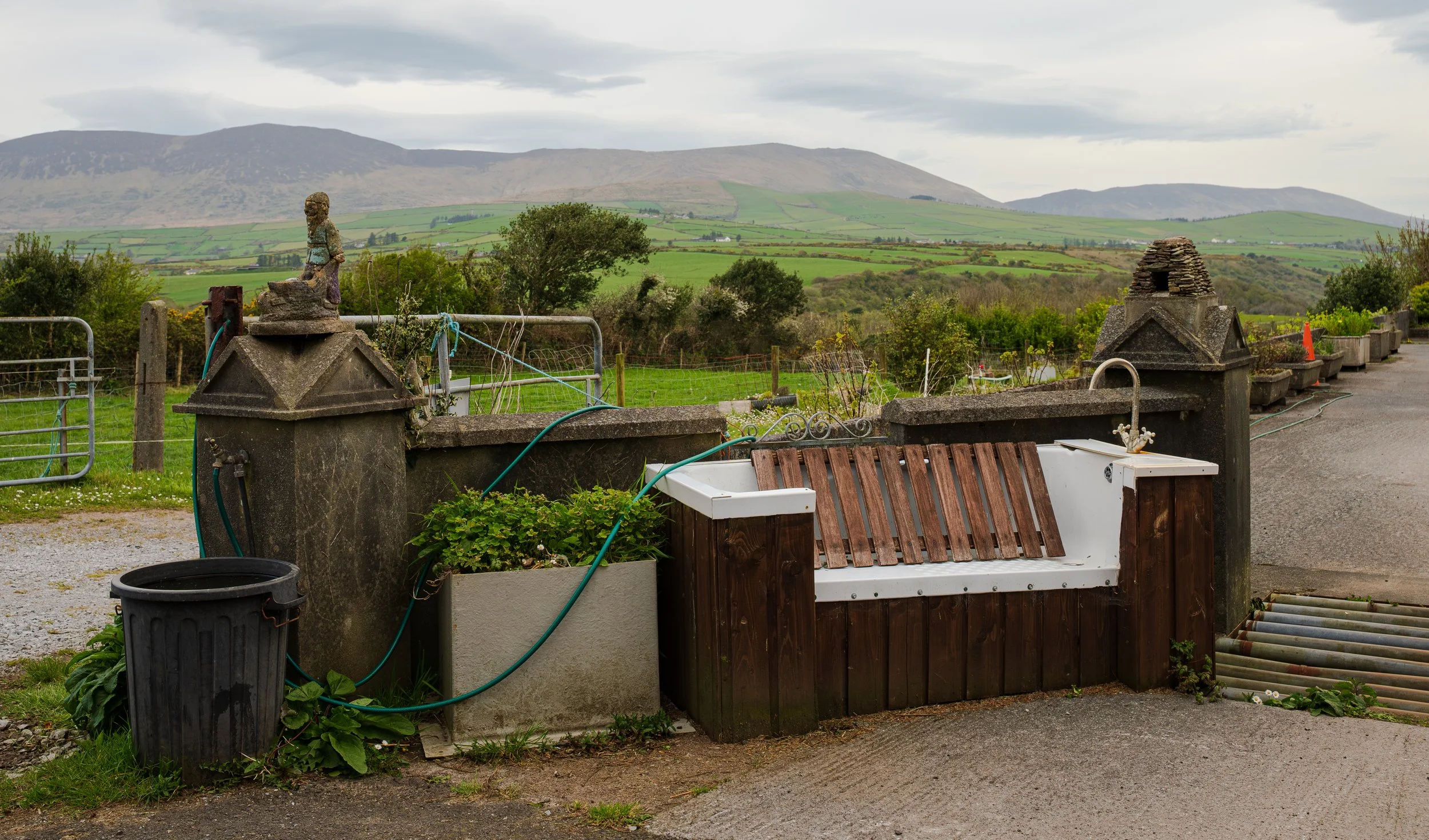
Not to say the trail fairies didn’t sprinkle some curiosities to see along the way.
And then, coming out of Lispole, the trail lifted me clean out of that mood. It climbs into proper farmland, and like a pig in muck I was in my element - muddy fields, mountain paths, and a guard of honour from a herd of cows who fell in behind their fence and ambled along beside me as I passed by with lambs bleating everywhere, because it was April after all.
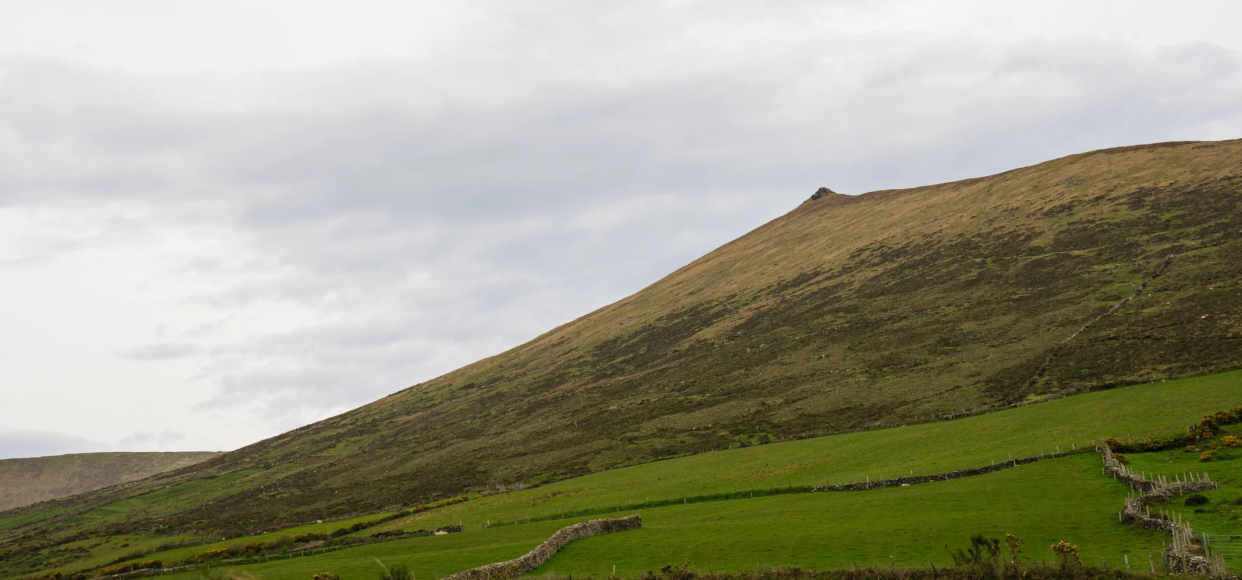
The sheep dotting the hills.
The descent into Dingle that followed was long and shallow and, in the moment, thoroughly enjoyable… though I should have known better. I really should have.
I have a history of knee trouble on exactly this kind of long, gradual downhill, and I could feel myself pushing the pace, too eager to reach the town teasing in the distance. I made myself ease off once or twice, the same restlessness I'd talked myself out of on the first day; except this time it won, and my knee tendon lost.
I wouldn't feel the full cost of it for a day or two, but the tendonitis that shadowed the rest of the trip began right here, on the happy stretch down into Dingle.
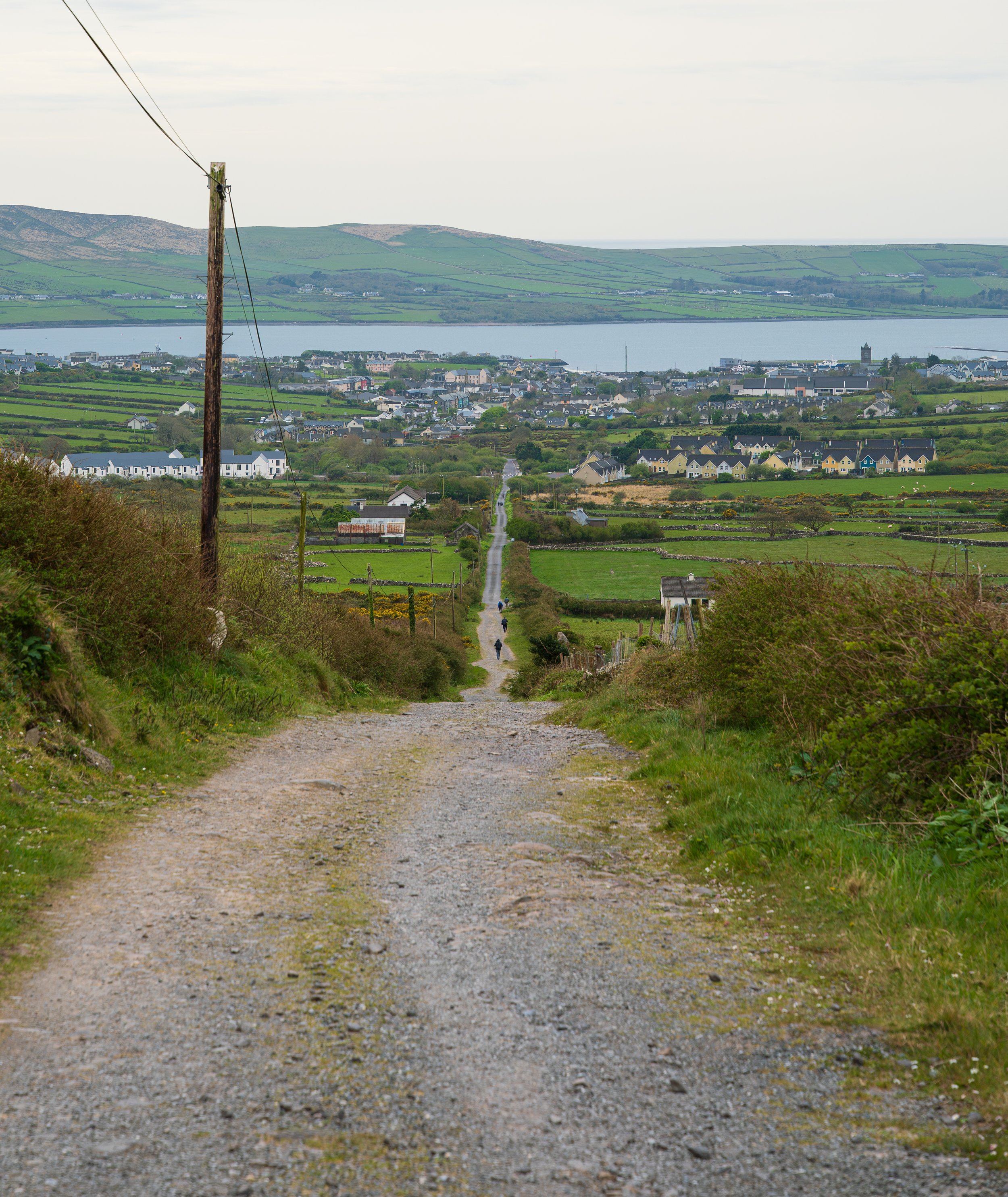
Following the breadcrumb of hikers heading into Dingle.
But that was later. For now I walked into Dingle (An Daingean) in fantastic spirits. Dingle really is a special place, even with its booming popularity. It’s the route's main hub, a Gaeltacht town where Irish is still spoken in the shops, and a proper town after days of villages.
I stopped into Outwest Clothing to pick up a t-shirt as a small memento of the trail (awkwardly wearing one of their tech tops already, slightly aromatic from the day’s walking, like a teenager wearing a brand-new t-shirt of their favourite band to their concert, having slept in it the night before).
No stopping me after as I made my way down the hill, straight for Dick Mack's - the 1899 pub that still runs a leather shop along one side of the bar - to down the end-of-day celebratory pint of their IPA in the little nook I adore, hidden from the rest of the pub. From there I headed to my stay for the night - the enormous Towerview B&B, with a room that shamed most hotels. I showered, walked back into town to Adams Bar for a chicken toastie and chips, and on the way home along the ring road that loops the north of the town I felt the first proper grumble in the knee. I told myself it would be fine by morning, and went to bed happy.
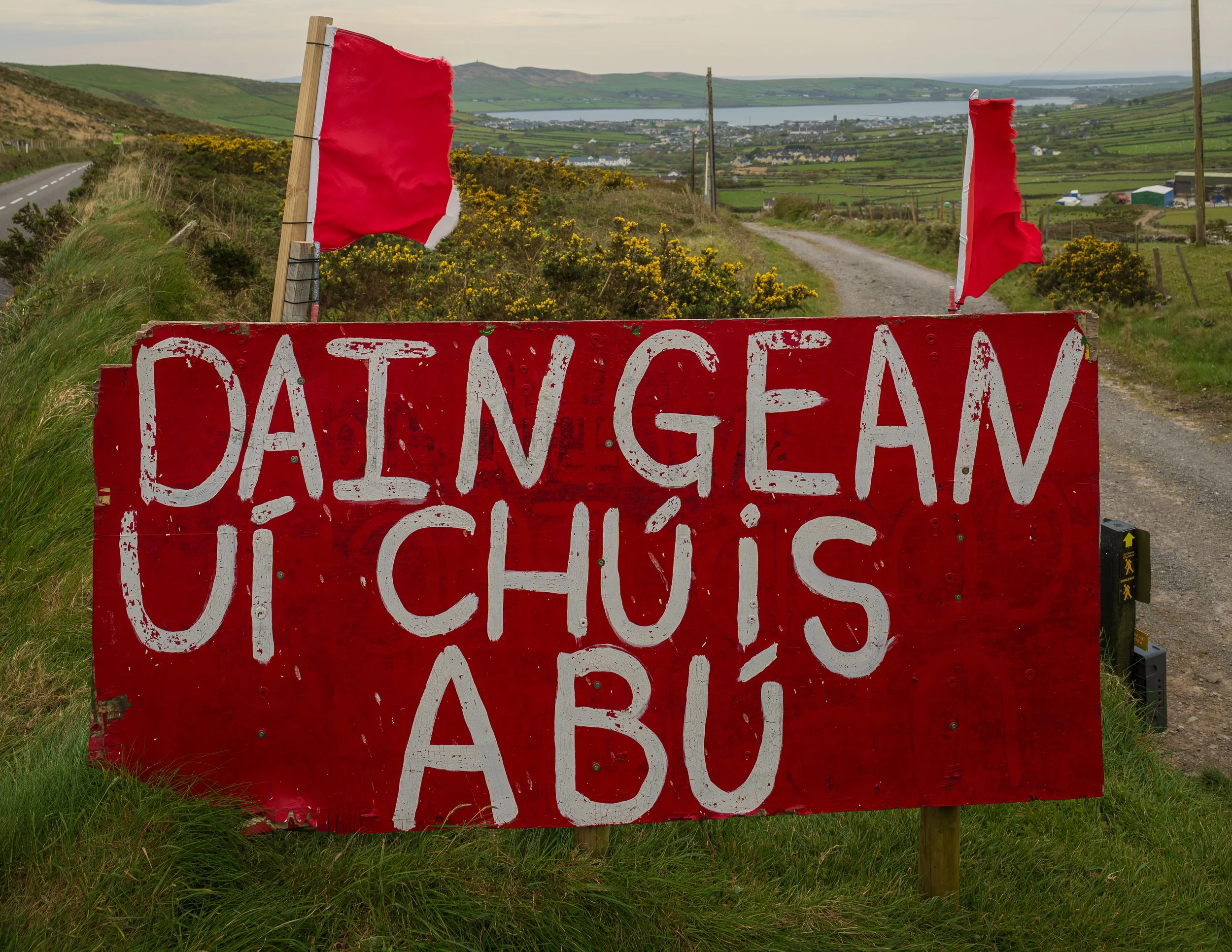
A wonderful sight.
Day 4 — Dingle to Dunquin
I woke on Day 4 to a knee that had moved past grumbling into full-on whining, and I knew before I'd put both feet on the floor that I'd be nursing it the rest of the trip. It wasn't stop-the-hike serious, but I knew it would be the line between enjoying the trail and grinding through it; between wandering off on detours and being a bit more deliberate about pace and distance. I've been here before, so I knew the drill: ibuprofen pills and Voltarol gel applied directly, a knee brace for some support, then just bite-down-on-the-gumshield like a boxer deep in the round after getting rocked. I walked back into Dingle early in the morning, stocked up, treated myself to a flat white in Bean in Dingle for morale, then sat down at the harbour to strap the brace on and get the meds in. And then I was off.
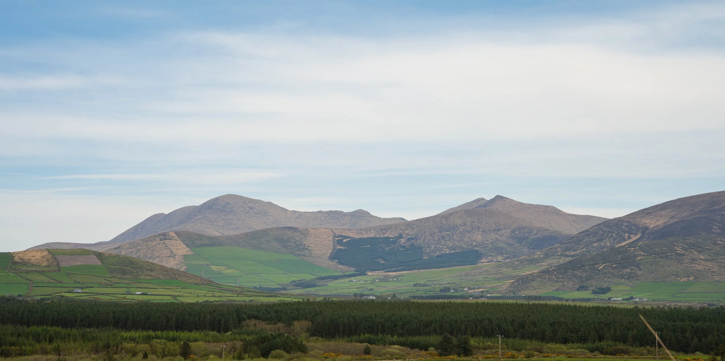
Slowly circling the Brandon range - now to my north.
The good news, which held for the rest of the week, is that from here the Way turns mostly off-road, and as you may have guessed I'm a different human the moment I'm off tarmac. Out of Dingle and back into farmland, it was immediately lovely. The first sight of Ventry Beach lifted my heart even more, and as I passed a schoolyard full of children out at lunch the sun finally came through. I stopped at the everything-shop in Ventry for water and a sugar-coated donut (a true hiking snack if ever one existed) and made for the strand, skipping back and forth along it with the American girl from Day 2, me pausing to film, her pausing to photograph, the two of us trading “enjoy-the-trail”s as we passed each other. Leaving the beach I was in such good form I couldn't feel the knee at all.
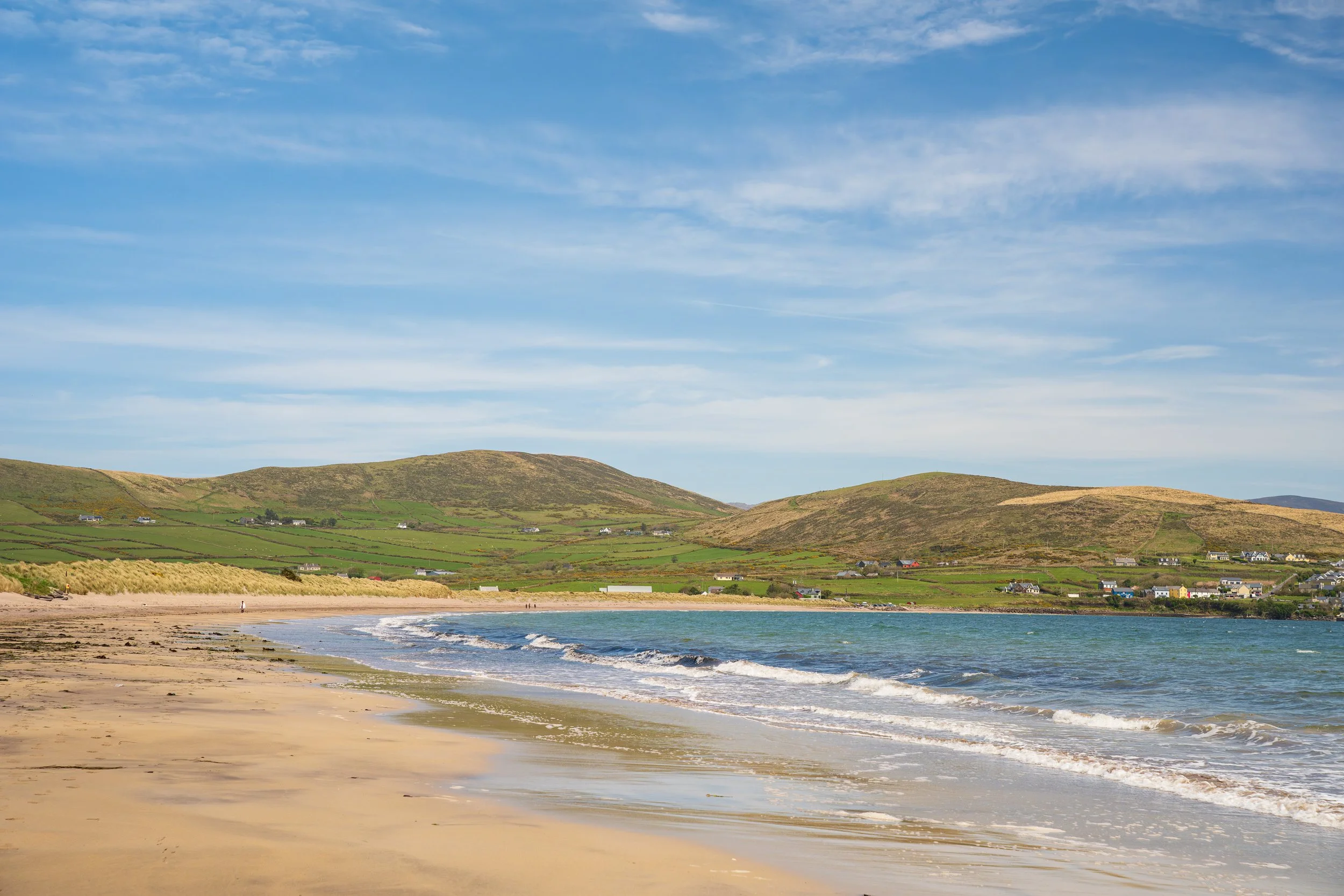
Looking behind me back along the glorious Ventry Beach. Always look back.
Then, heading upland, the most improbable thing: a petting zoo set up on a fairy fort with alpacas and a pig and horses and donkeys and sheep. I paid the kid on the gate a fiver, got some footage, and walked off half-convinced I'd imagined it all.
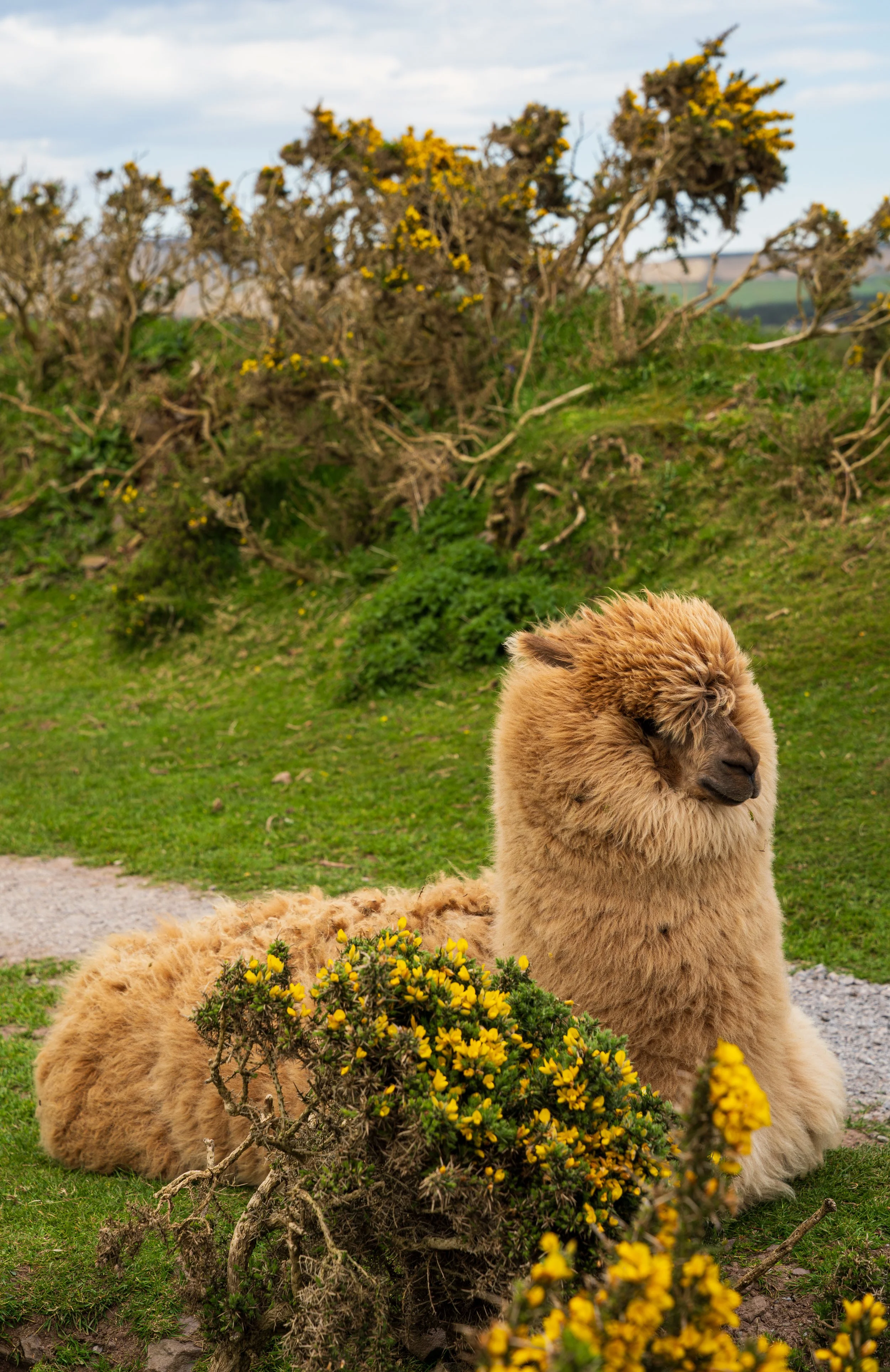
I swear I’m not making it up. An alpaca!
The road section that follows is busy, but nothing the Kerry and Beara Ways hadn't already taught me to handle: walk against the traffic, hold the line that gives drivers the longest sightline of you on the road, and keep your head on a swivel - an old army habit, walking backwards every once-in-a-while when the road ahead was clear, to imprint the picture of the view and the road behind.
Eventually, my GPS watch sent me uphill while my fellow walkers carried straight on along the road, too far ahead to call to and warn that they'd missed the turn… and I'll confess to a flicker of smugness. The climb was glorious, and I'd have loved it more if I weren't dragging a leg up it, along the ridge, and down through the valley. I stopped for a late lunch on a rock looking across the bay towards Cahersiveen and the Kerry Way - a lovely full circle, since I'd sat over there three years ago eating lunch and looking over this way, imagining the hike I’m now on.
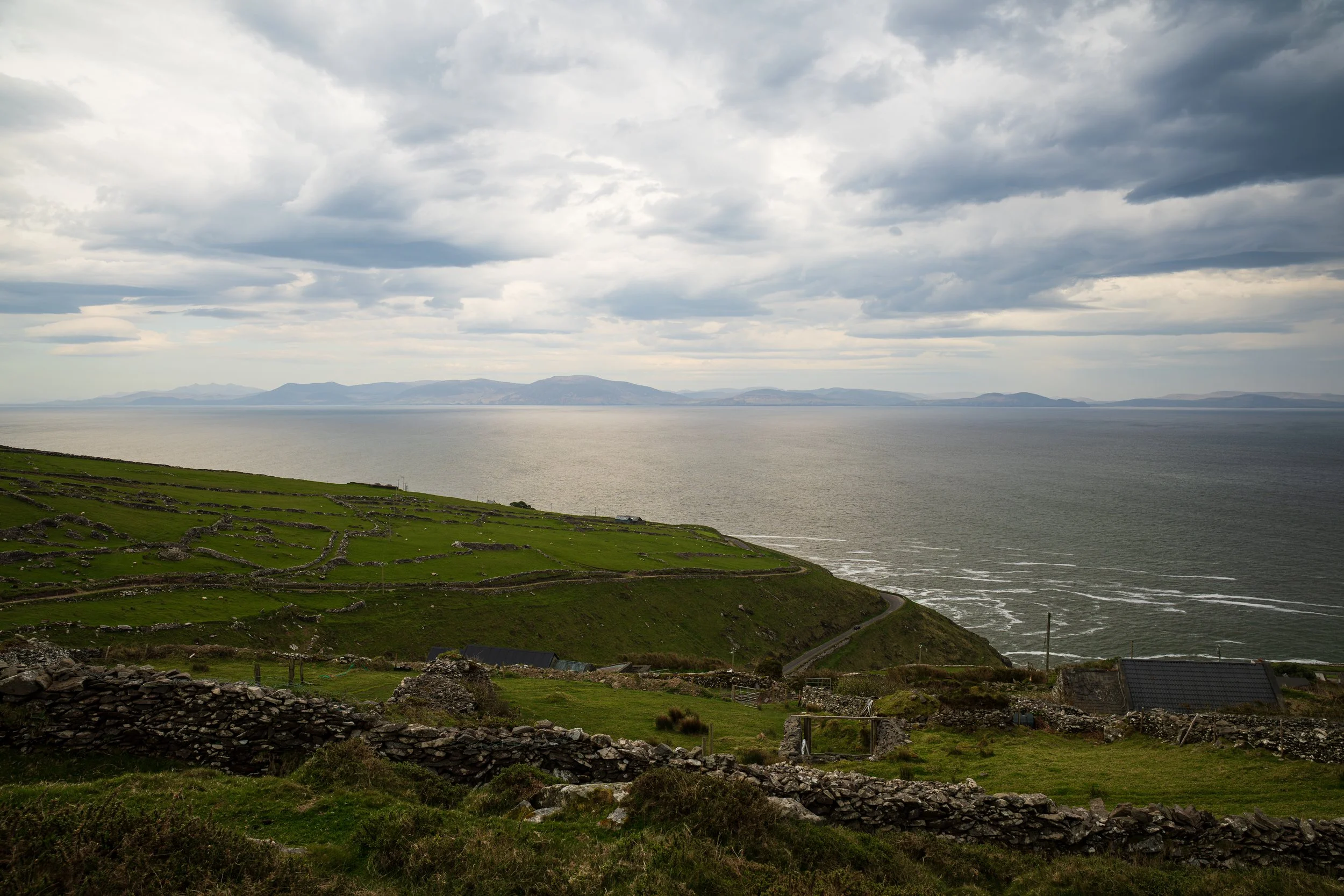
My wonderful lunch view of the Iveragh Peninsula.
Then… I came across the American girl already ahead of me, sprawled casually on a rock, writing in a journal. How on earth had she passed me? The missed turn should have cost her time. Did I fall asleep at lunch? Can she teleport? Have I imagined her this whole time? It turned out that she'd found a lovely café just down that road that I’d smugly turned off, had a wonderful lunch, and took the short scramble back up to the trail after. My packed lunch, bought in Dingle hours before, now felt very inadequate. Stupid soggy tuna mayo baguette.
Coming round Slea Head I caught the only rain of the entire trip: a brief, heavy deluge that turned the Blasket Islands mystical in the fog and haze, the ocean thundering against the cliffs.
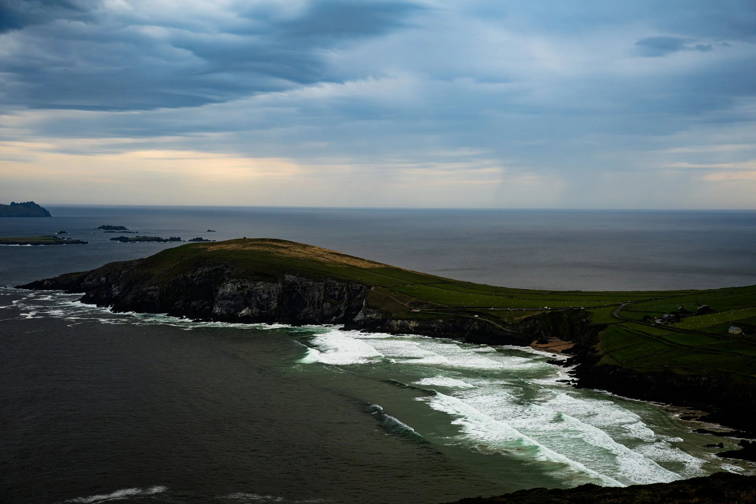
Thankfully, this particular rain shower passed off to the west.
I'd somehow lucked into having that night’s B&B to myself: St Brendan's Voyage in Dunquin, run by Amos, an absolute gentleman who told me how he'd built the place himself over twenty years. Minimalist at best, but the vibes were impeccable. He generously dropped me down to Kruger's for dinner, a building that looks like a farm shed from the road and turns out to be one of the finest pubs on the whole route. I was famished and the knee was operatically vocal at this stage, so I more or less fell at the first table I reached and ordered a pint… and there was the American girl, waving from the table next to mine. Fish and chips, pint of stout, then a very gentle walk back to the B&B. And from there, the day's parting gift: the sun going down over An Fear Marbh (the Blasket island shaped like a man laid out on his back), the earlier squall forgotten in the gold of it. A good end to a long day.
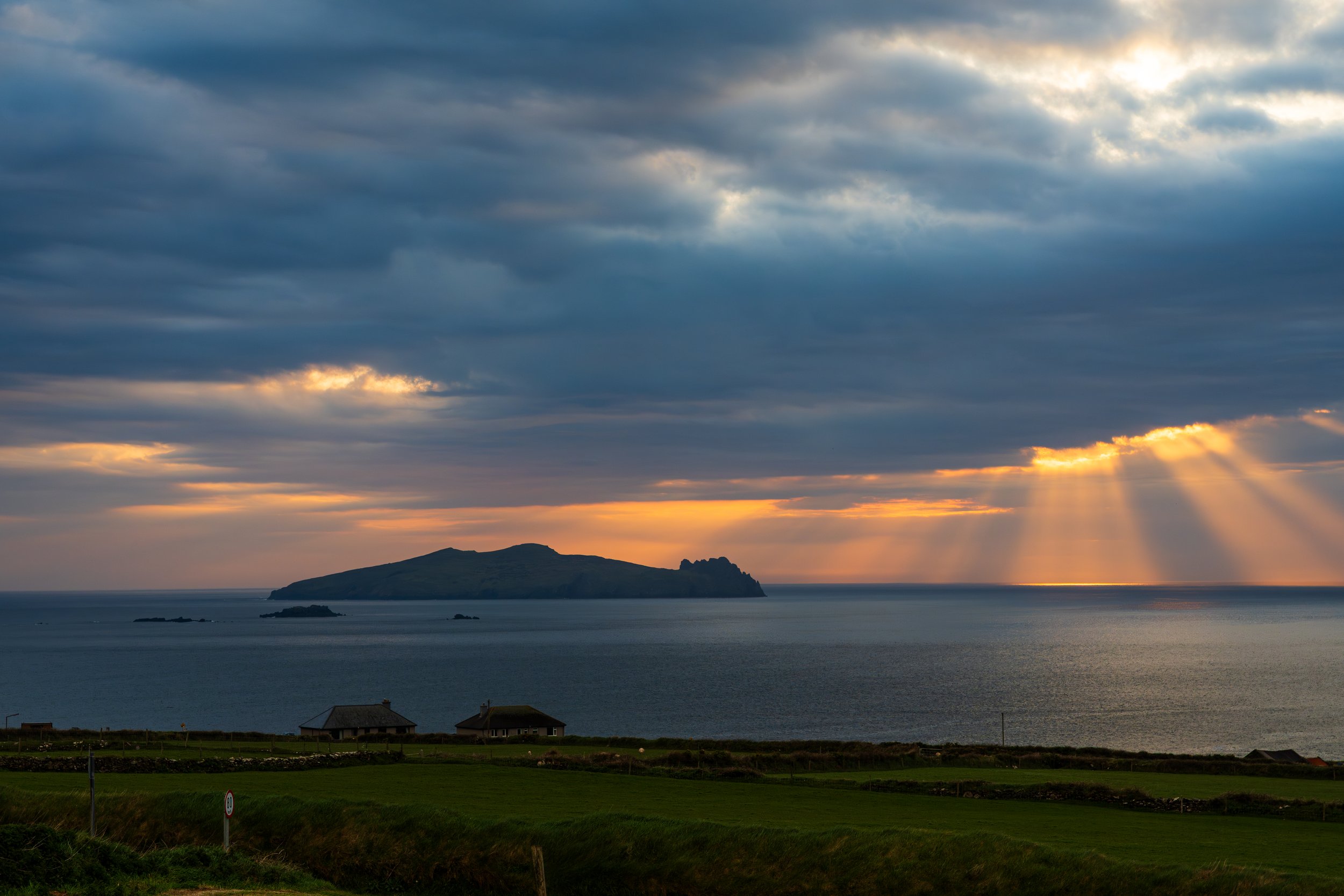
God rays over the dead man.
Day 5 — Dunquin to Ballydavid
This was my worst day.
My knee was in shreds from the moment I woke, and I put on a brave face heading down the stairs to the kitchen, where Amos had called by with supplies and was visibly proud of the egg boiling machine as he showed me how to work it. I made some hard-boiled with toast and cereal, got into my gear, said my goodbyes…. and the very first steps out the door ached like hell.
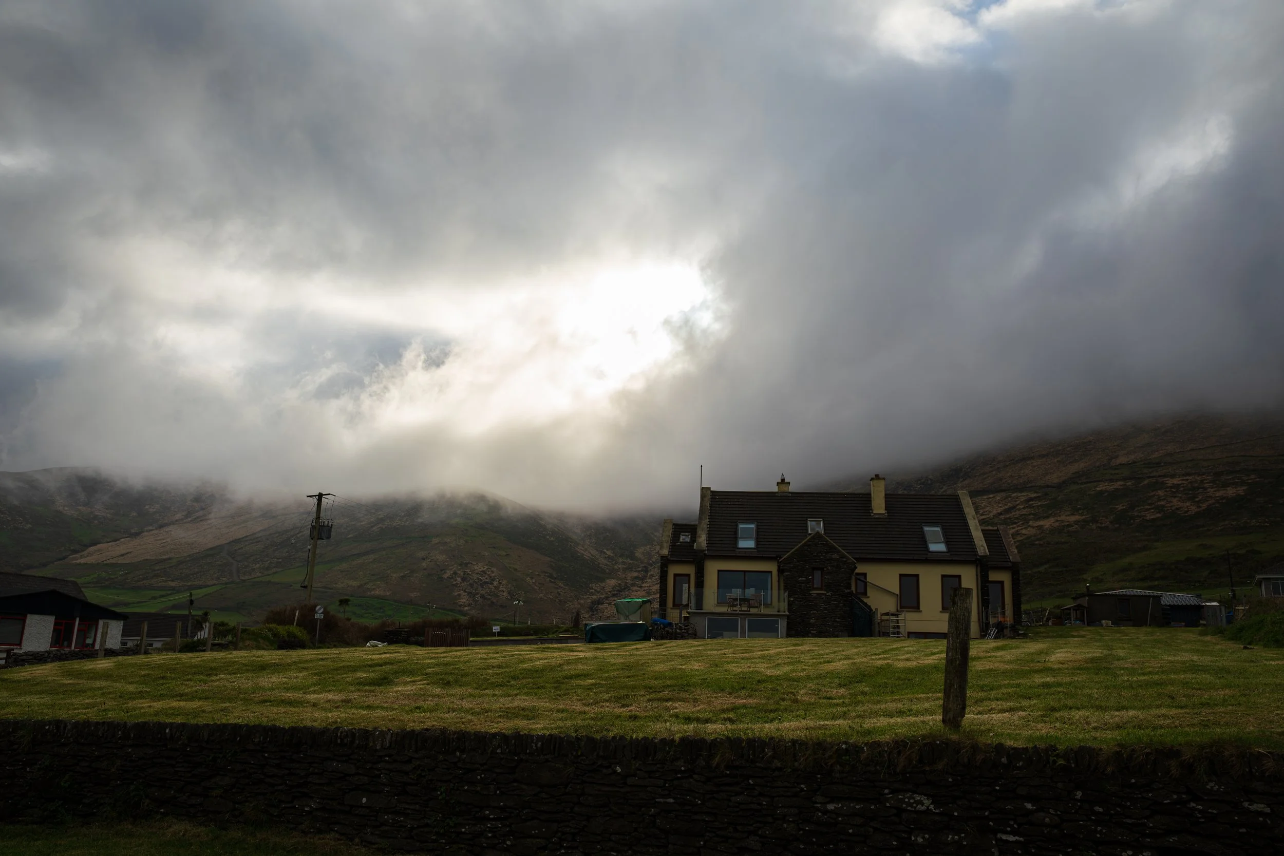
St Brendan’s Voyage in the misty Dunquin mountains.
I meandered my way slowly down to Dunquin Pier through a beautiful low cloud, visibility cut to a few hundred metres, the whole place grey and eerie. The pier is famous for its zig-zag ramp down to the water, and standing at the top I genuinely couldn't fathom the tales of cars full of tourists getting wedged on it. You'd have to literally ignore the path entirely, shut your eyes, and white-knuckle the thing like a desperate NASCAR driver grinding along the wall instead of actually steering. The mental image gave me a giggle, wildly out of step with the moodiness of the morning.
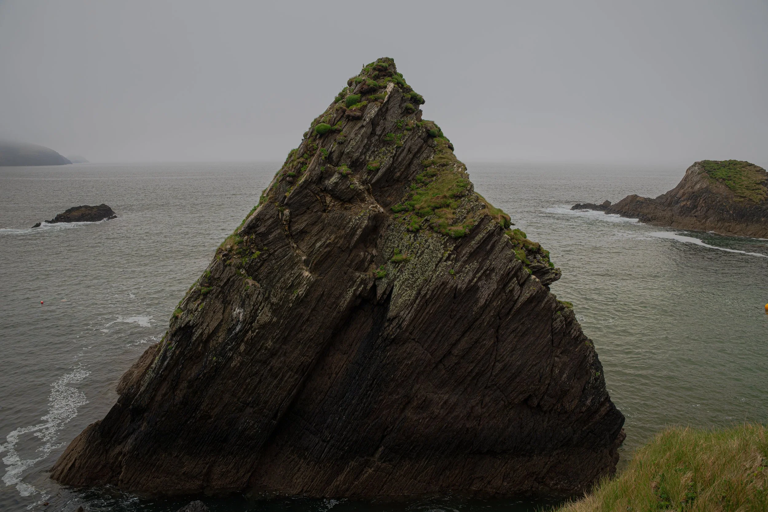
Mystical and mythical.
From there I made for the Blasket Centre and faced the day's first real decision: the gentle road to the right or the longer, higher coastal trail to the left. I could see the Dutch family far off, sensibly taking the easy line. I, of course, chose the scenic one like a dope, adding on extra kilometres and a hill climb onto a ropey knee. Sure it’ll be grand, I said. The trail sensed my insolence.
I passed the abandoned film set from Ryan's Daughter, came over the hill, and could have wept: ahead lay a long, gentle descent into the next valley, exactly the kind of slope that had started the trouble in the first place. I stopped constantly on the way down, pretending to film, just in complete denial of how bad the knee was getting.
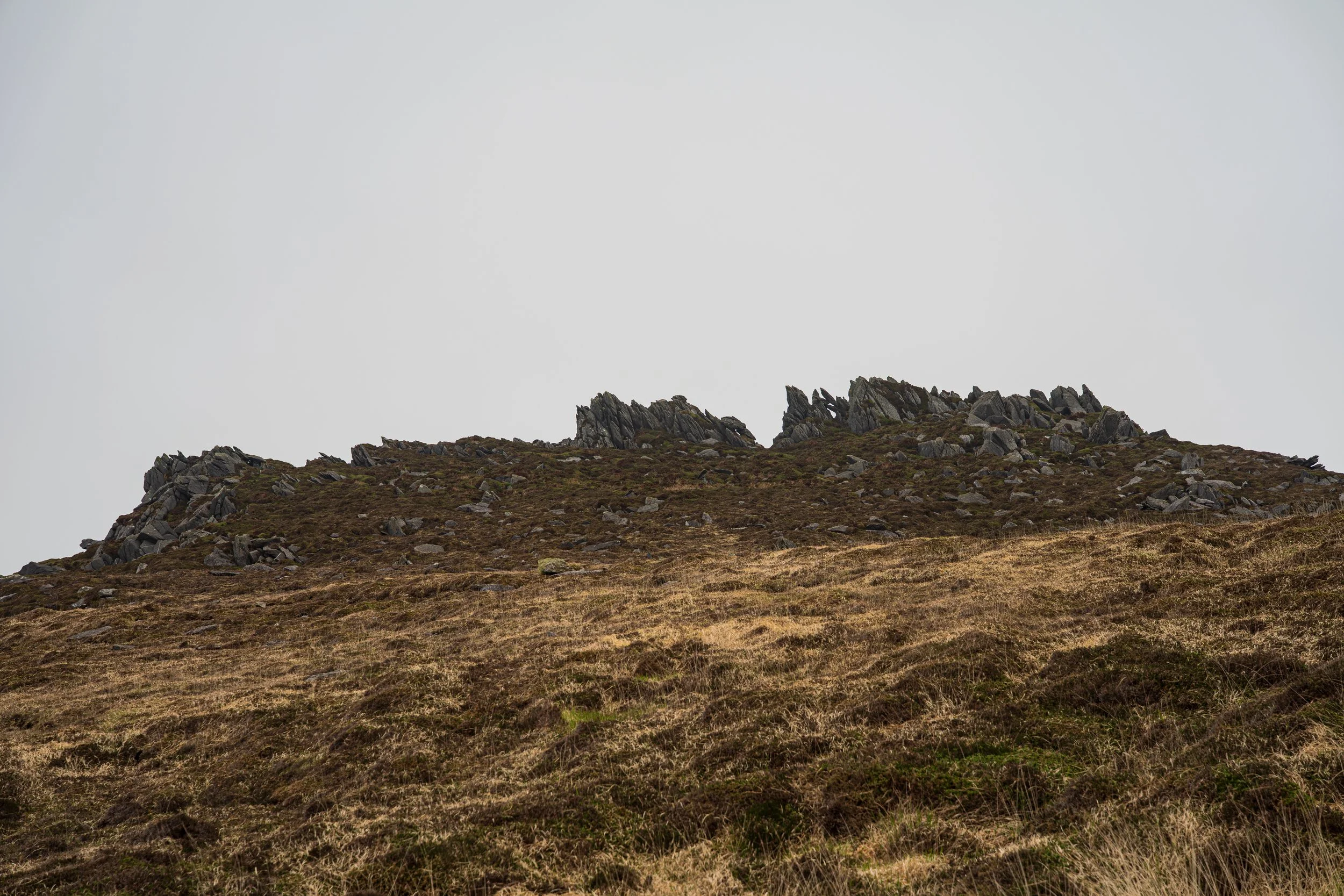
These views were worth the long route, though.
The map promised a café ahead - Tig Áine - and I'd convinced myself that if I could just reach it and sit and eat, I'd be fine. I got close enough to read the CLOSED sign and very nearly just lay down in the middle of the road.
I settled for the car park wall instead, threw my pack down like a sulking child, and consoled myself with the last of my Jelly Babies while touring cyclists whirred past, no doubt wondering why a grown man was sitting with his trousers round his ankles, working gel into his knee and stuffing kids sweets into his face with a grimace.
This was the bottom.
The knee wouldn't bend without a shooting pain, and I sat there seriously weighing up calling Amos for a lift. What stopped me wasn't pride, exactly. The whole point of being out here was to document the trail, and people were backing this film, even though I knew they'd understand an injury and a replan. However I am, unsurprisingly, bullheaded and stubborn and maybe a little bit dim; trousers restored, I limped on.
Barely eight kilometres in, with the whole day still ahead, and already finished mentally and physically.
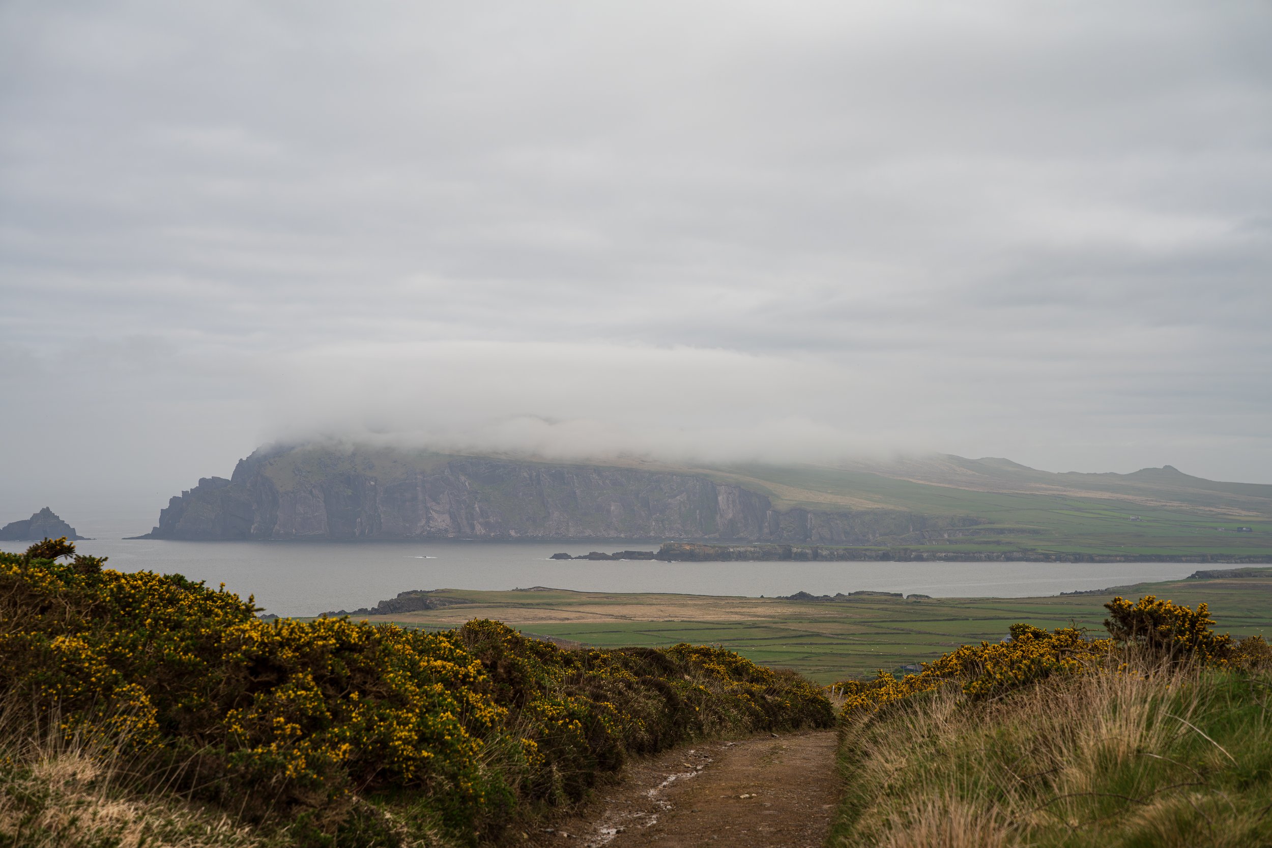
My pity photo of the downslope ahead.
And then, around a bend in the road, a lively building emerges - Louis Mulcahy Pottery. I cursed my luck that the one open building on this part of the peninsula sold plates with no food on it… until I realised there was a café upstairs.
If I could get up the stairs.
Bite-down-on-the-gumshield time: I hauled myself up by the handrail and spent the best part of an hour over the most extraordinary wild garlic and cheese toastie and a flat white. My little gooey aromatic saviour, laced with ibuprofen and caffeine. It was hard to leave, mostly because the spot was so lovely, and I'm honestly still not certain the whole thing wasn't a fugue state my brain could have invented, trying to protect me from the embarrassment in case I had actually been shuffling along the country roads, cacks down at my boots, dragging my peg-leg along behind.
Only those cyclists know the truth, and mercifully they spared me any odd looks when they appeared in the café too.
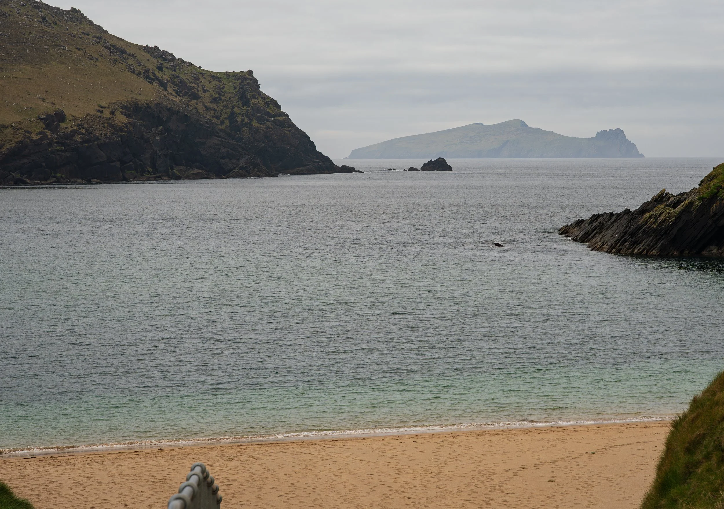
The Dead Man becomes The Swimming Man.
After that came a long road section and, finally, the beaches. This stretch is a happy blur… beautiful, I know that much, and watching the Three Sisters rise into view ahead of me was a thing to behold. I made it through Murreagh, and onto Tigh T.P. for scampi and chips and a pint. Then another, as the waitress had spied my camera and asked if I was the fella filming the Dingle Way. Rumours of my exploits - the man walking the Dingle Way like Techno-Gandalf, a tripod in lieu of a magic staff - were running ahead of me into the next villages, it seemed.
God knows I could have used his walking stick at this stage, at least.
Feeling like a true celebrity, now with a touch of inebriety, I floated out along the cliffs and farmland to a gorgeous farmhouse B&B at An Doneen, where I watched the sun go down over the Three Sisters from my window. The worst day on the trail, and it still found a way to end on a sunset.
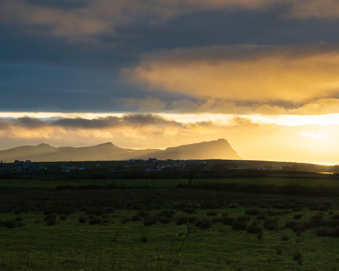
How lucky I am.
Day 6 — Ballydavid to Cloghane
This was the big mountain stage day, and I had to treat it like one. The morning knee routine had become a kind of ceremony by now - ibuprofen, gel, the brace, all done slowly and seriously with the climb ahead. I'd already resigned myself to skipping the true summit of Brandon, my original goal for the day, though I kept one thread alive at the back of my mind: see how you feel when you're up there. Spoiler - not this time. Kept for another adventure.
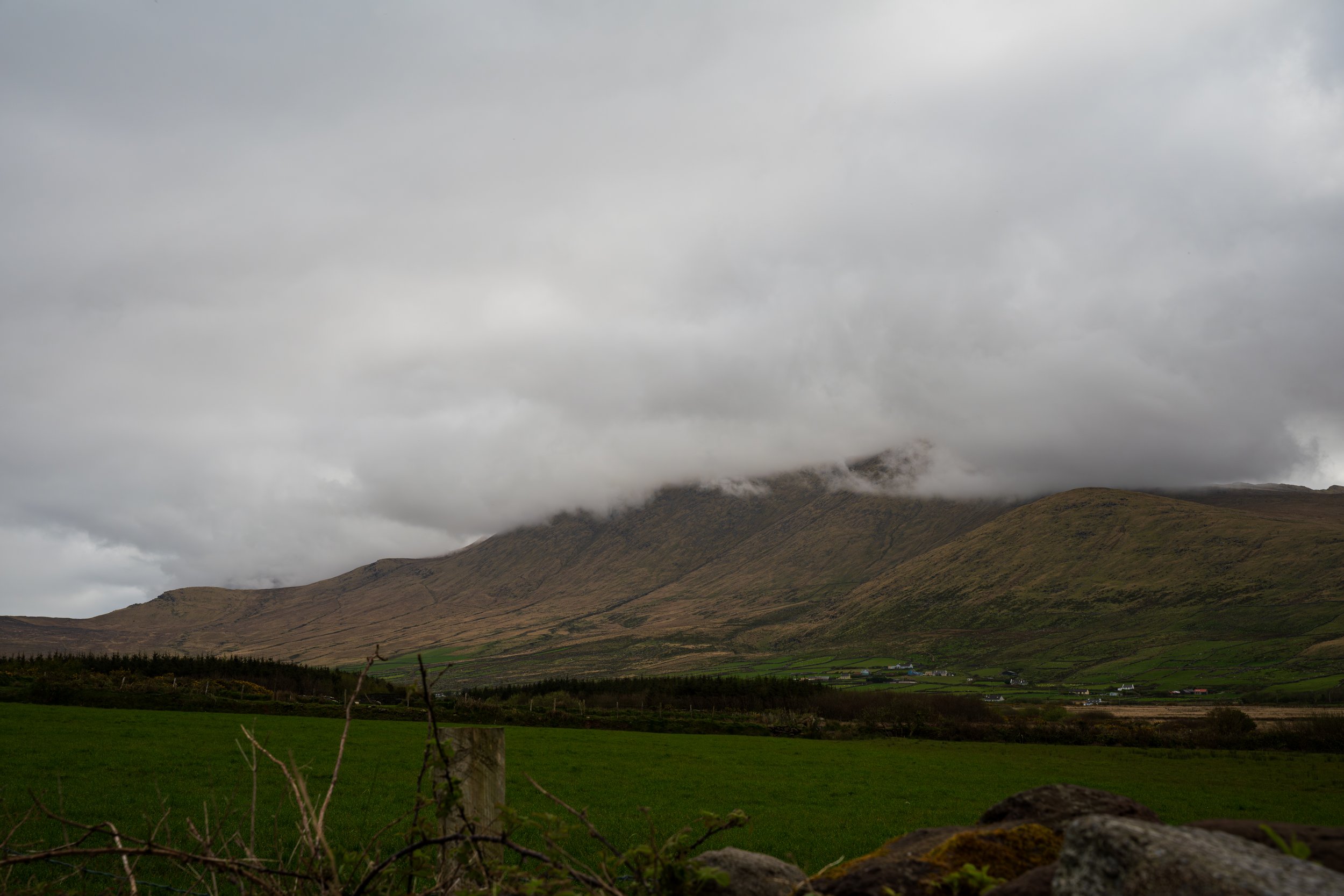
A moody start for a big day.
Cutting out through the farmland felt like a warm-up for body and head both. At one farm, I came across a poor scruffy Collie missing a leg, standing his ground in the lane as he watched me approach, refusing to budge. I love dogs, so I hunkered down, dodgy knee and all, and offered the back of my hand to sniff. He informed me, in no uncertain terms, that this was his farm, thank you, and I could be on my way. Maybe he sensed I wasn’t exactly a threat to him in my current state, so I made my escape, keeping my tripod-staff between the tri-legged mutt and my mono-legged self… just in case.
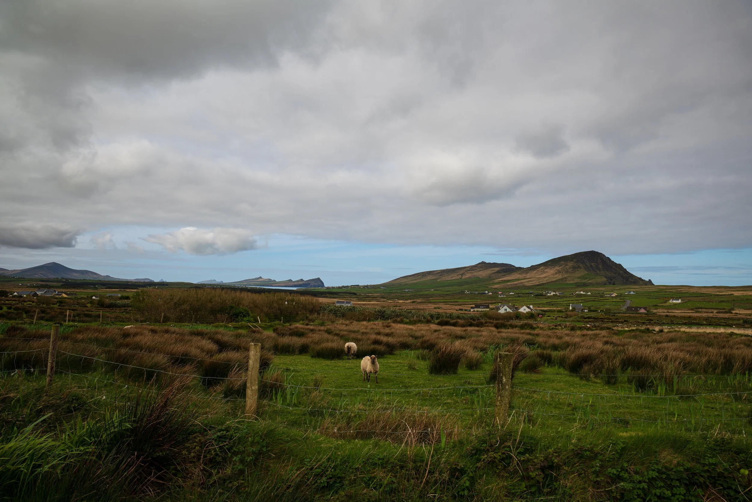
Not all clouds though…
The walking through here is steady and flat but never dull, winding through farm and village and forest and riverbank, and it felt like a reward in itself. I fell in step with a couple new to me on the trail - they'd seen me filming over the past few days. We had a good chat before I took their photo as a small gift and watched, a bit jealous, as they upped the pace and stormed ahead. At the foot of the Brandon ascent, I stopped to refuel and prepare the knee for the jaunt up.
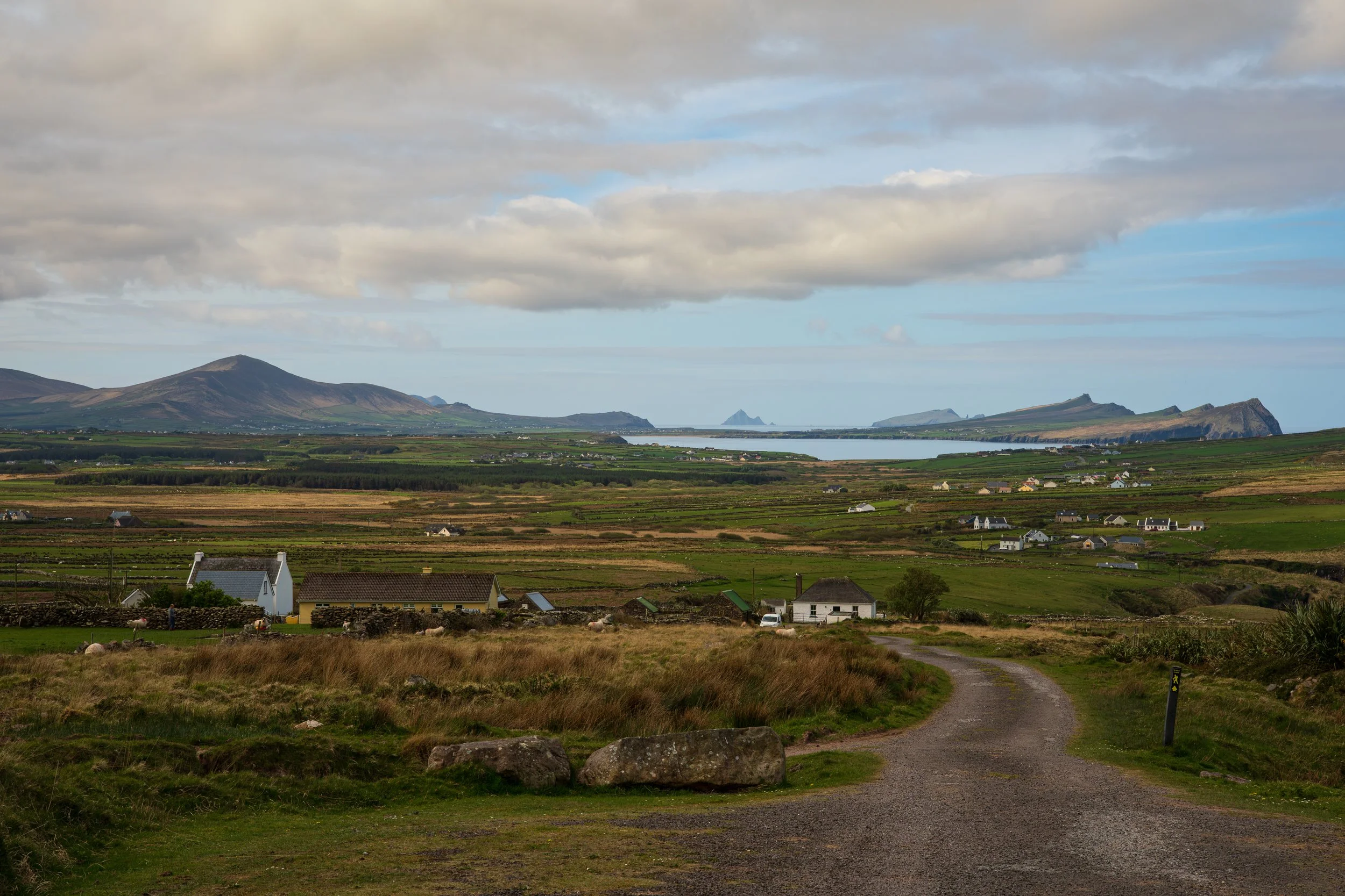
My personal Brandon Base Camp.
And then the day became one I'll never forget. The sky cracked open into a deep royal blue, and when I turned to look back, every mile I'd limped yesterday, the whole grind from Dunquin, lay spread out behind me in crystalline light. This, paired with the climb itself, just fired me up; I adore being high on a mountain trail, and I more or less powered straight up, the knee now filed away as a trail feature rather than a problem.
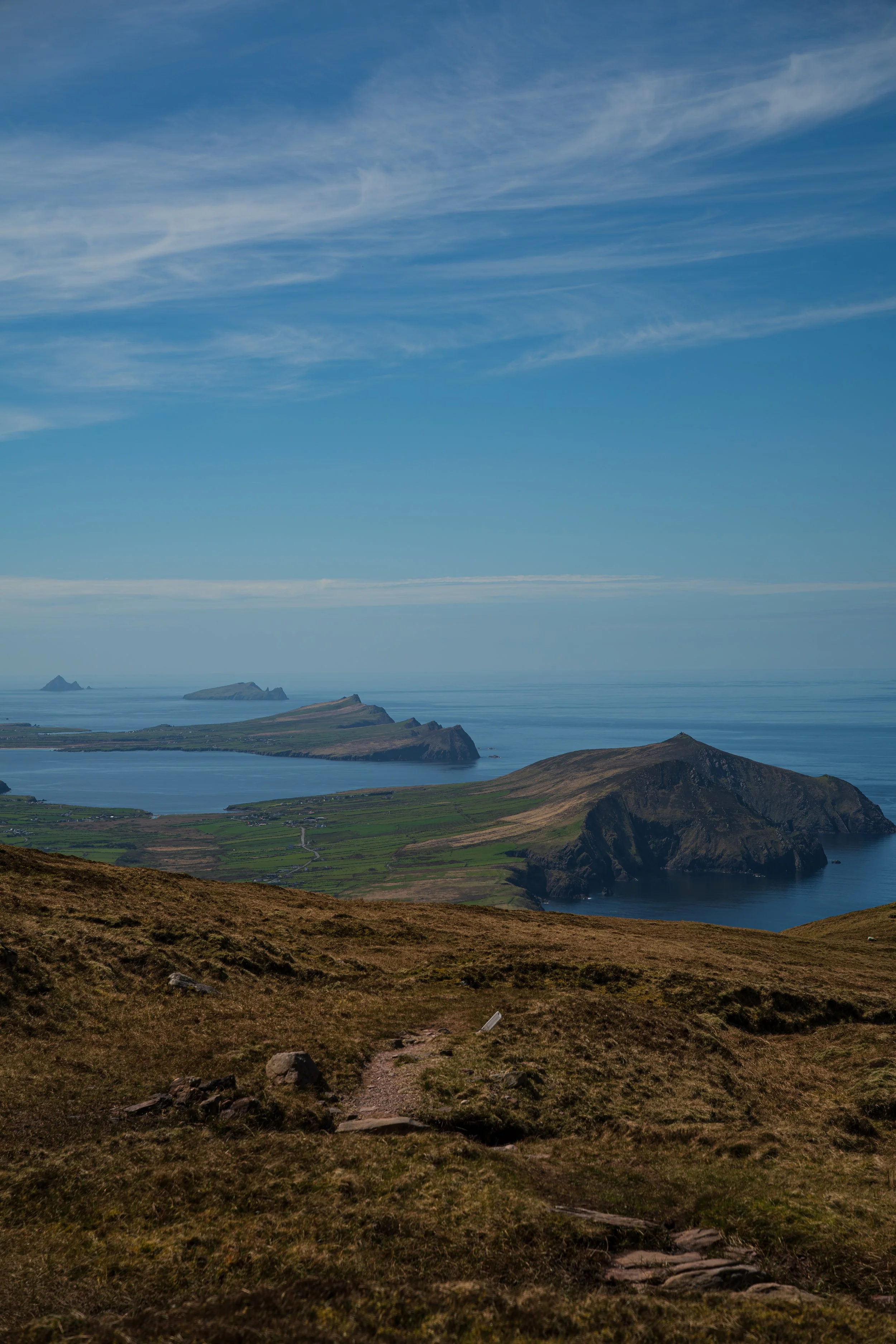
Always look back.
I did manage to soak myself filling my water filter on the way - gingerly balanced on wet rock, as I compressed the water the yoke fired a jet of mountain stream water out the side, right in the testicles, which at least cooled me down. Onward I went however, unintentionally refreshed and feeling like a mountain goat and, I suspect, looking a great deal more like that bedraggled three-legged mutt.
Which brings me to my outfit.
I'd bought new kit in Decathlon before the trip, and this was the first day I wore the long-sleeve top and the hiking trousers together. I didn't clock my own costume until I watched the footage back: the shirt a size too tight, the trousers straight off the set of Deadliest Catch.
So my ascent of the shoulder of Brandon - the highest point of the whole Way, the climax of the film, and my private little victory of simply not quitting - is preserved in glorious 4K ten-bit colour, as I limp into frame at the cairn at the top of the pass looking like a stripper with an angler gimmick, long retired after a tragic incident involving a pole.
The highs and the lows, eh?
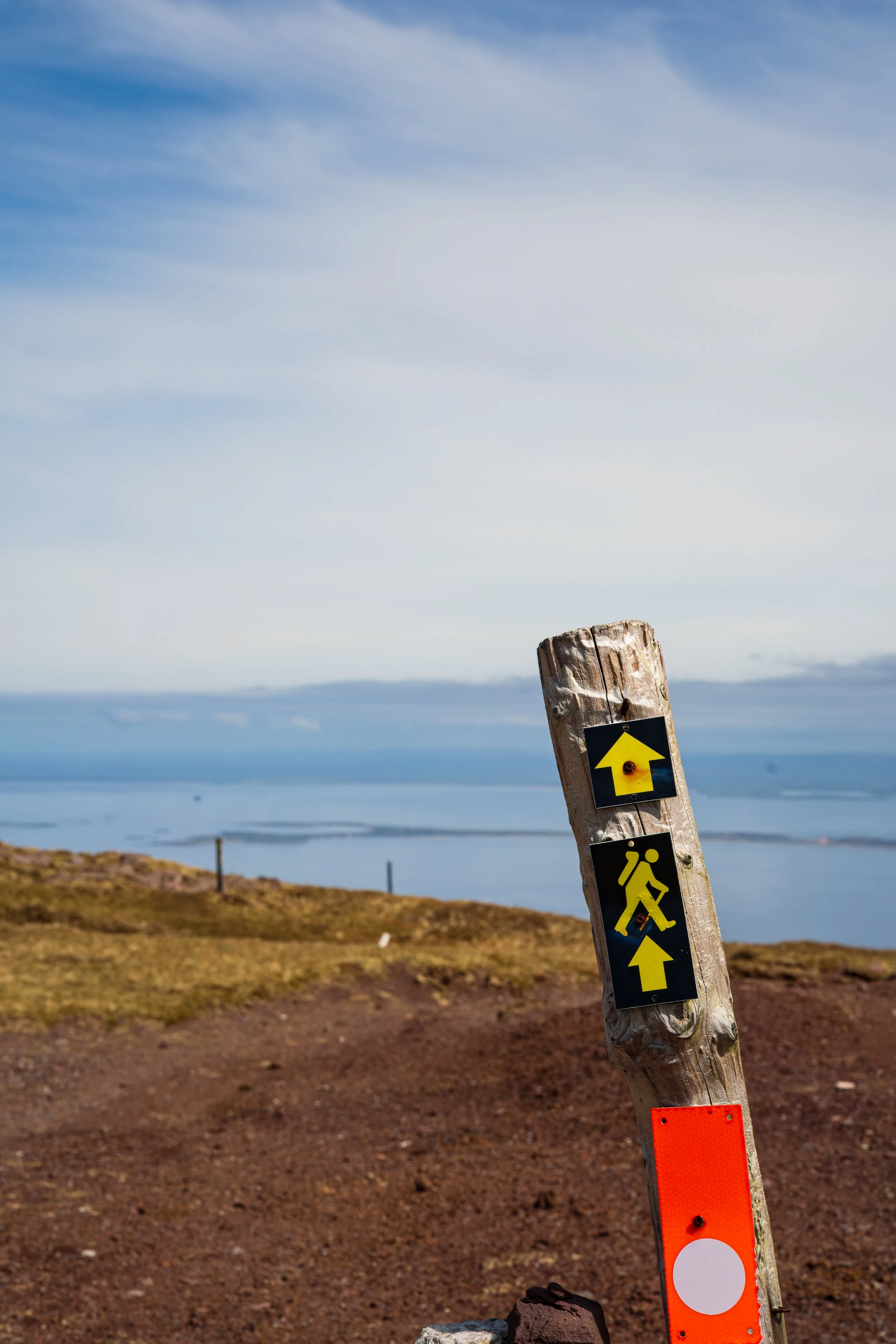
At the summit cairn, with a song in my ears and a bright spirit.
I stopped up there for lunch and just soaked up that rare vantage where you can see at once how far you've come and ominously, how far you've still to go. The final day was a monster of forty-odd kilometres to Camp, looming out ahead of me on the far side of the bay. I'll admit… the remaining distance began to intimidate me a little here.
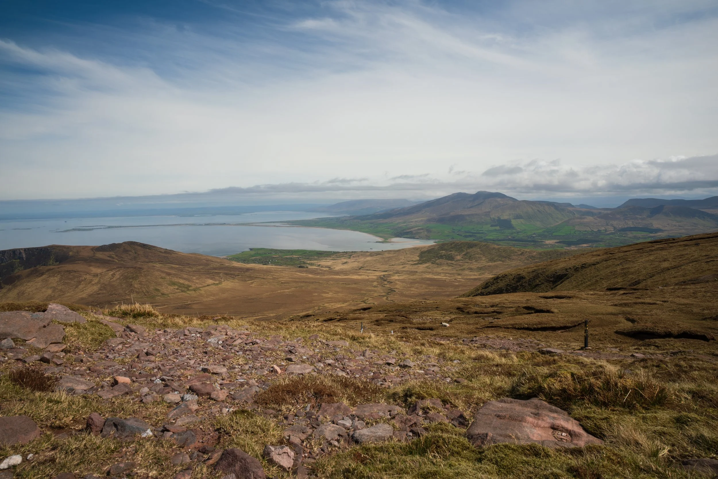
Tomorrow’s destination of Camp is on the far side of the spit of land threading into the ocean - which I’ll be following the curve all the way out and back in.
The descent however was glorious: placed stones laid like a staircase down the mountain - though I worry they’d be treacherous in the wet - until I came upon a memorial marking a WWII aircraft that crashed into the slope in 1943. The rest of the way down felt like a beautiful dream, the whole valley bathed in sun, yellows and browns and blues and greens saturated, a full technicolour experience.
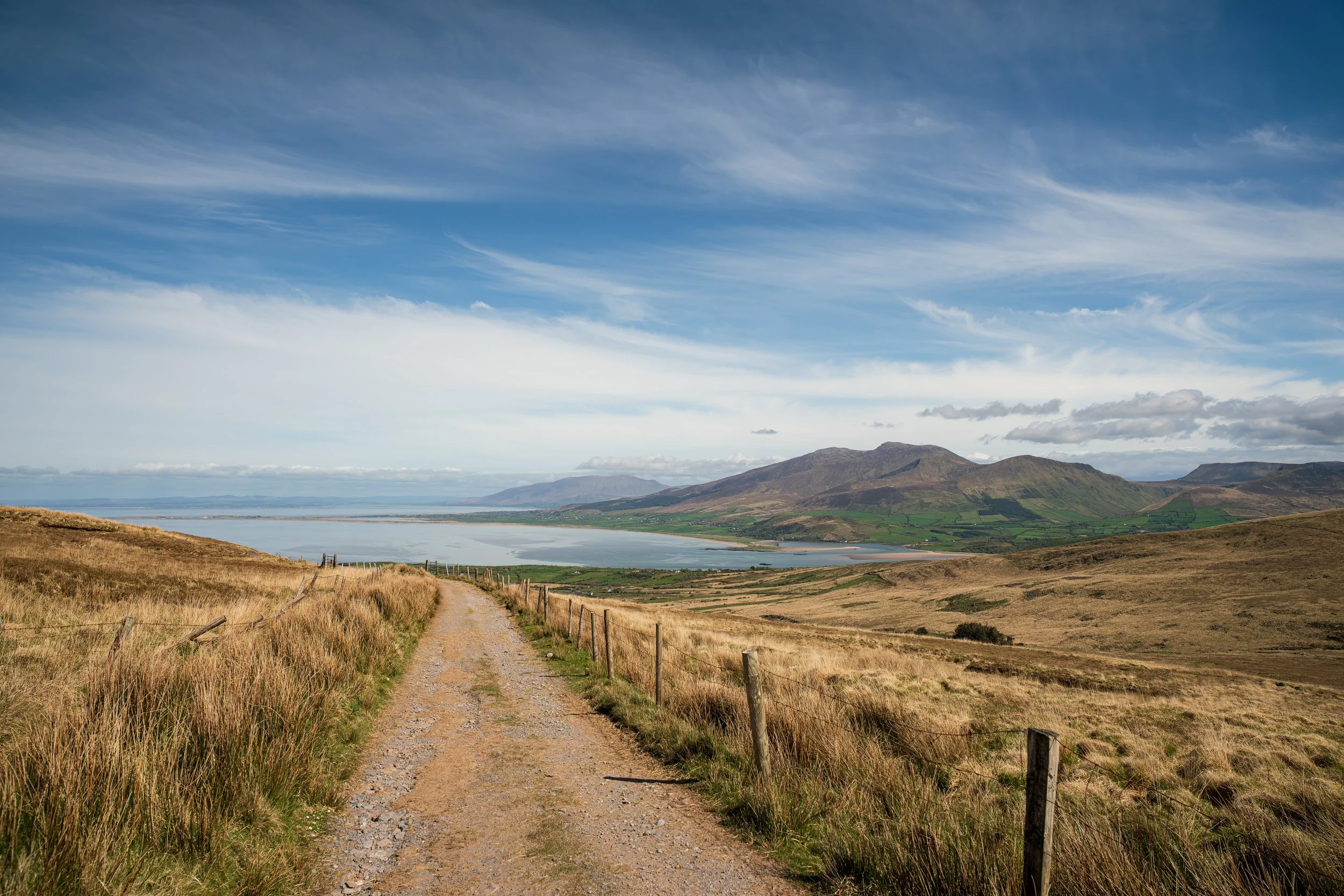
I basically vibed my way down from the top. Easy to get lost in these views.
By the time I reached the village of Brandon, half the parish seemed to have called the day off for the pub - at Murphy's especially, people spilled out of the bar and sprawled in the sun on the pier. I'd had my fill of sun and went inside, where the one free table happened to sit right beside the couple from that morning, looking as softly wrecked as I felt, and we traded jokes about old bones not holding up. Trails have a strange quality to them… camaraderie through serendipity.
I got myself to my B&B at Mount Brandon Lodge in Cloghane, washed, and walked into O'Connor's for a single pint before bed - just the one, with the marathon final day ahead and a deal already struck with the landlady to leave early before breakfast to maximise the daylight. Just the one, or so I thought.
I was at the bar, a table of German visitors behind me, when the owner came out onto the floor and the room went quiet, and he told the most wonderful story of the many aircraft that came down on Brandon in the war (and never letting the facts spoil a good storytelling, I imagine). Then he introduced himself to me, and as I mentioned I was filming the Way, he lit up, sent the barman off to get “the statue”… and produced an Emmy Award.
Finally feeling recognised for my work, for a giddy second I was lost in my head writing my acceptance speech. I’d like to thank the inventor of Ibuprofen and…
In truth, it had reached him by the most Irish route imaginable: an emigrant's descendant in the States, posting a keepsake home to the "town." He told me the whole saga while feeding me with free Guinness, pint after pint. How could I refuse? Whether it was the newfound fame of the past two days or the stout, I floated back to the lodge very merry indeed and collapsed onto the bed, head ever so slightly spinning.
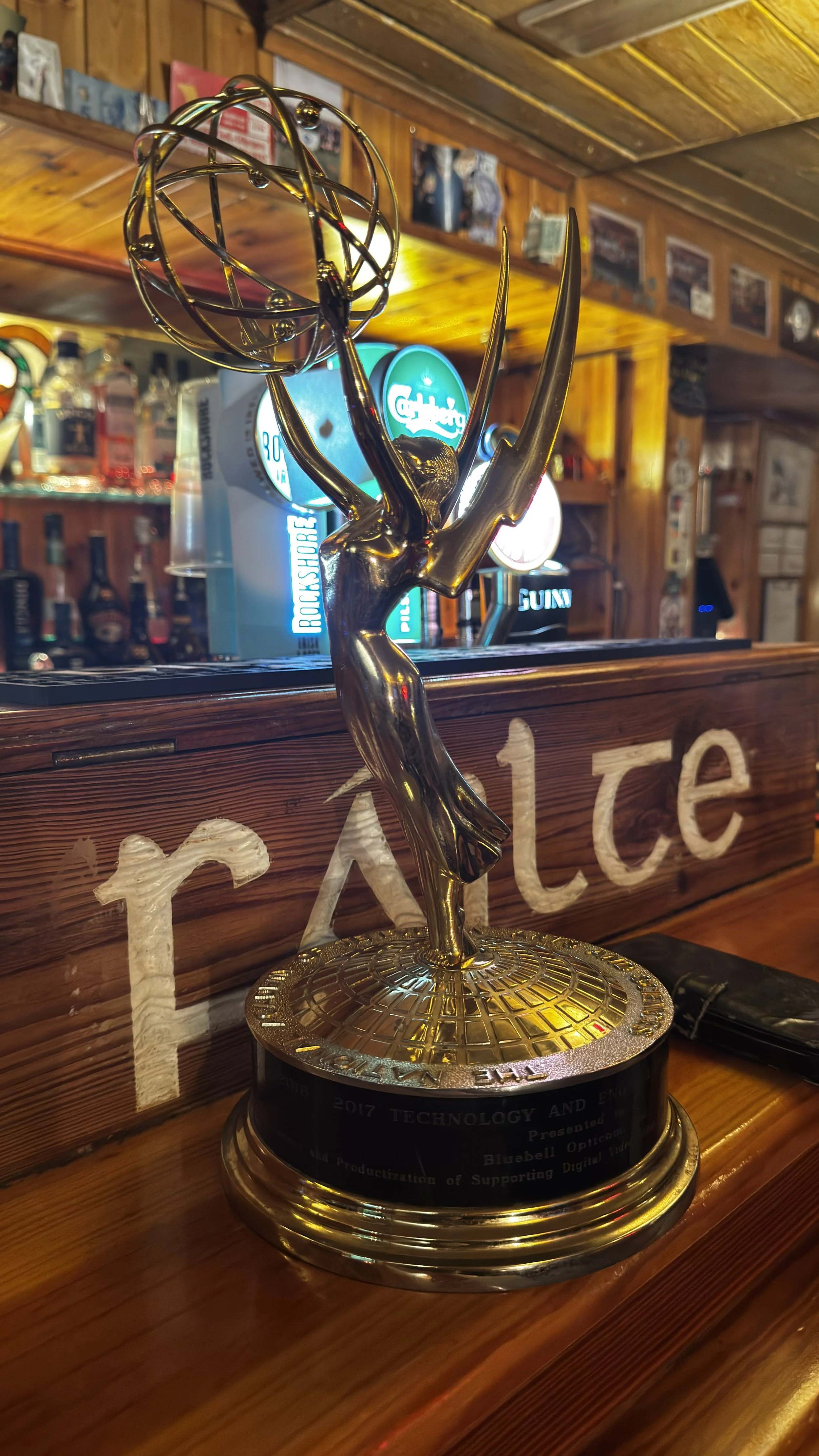
Maybe someday. Like and Subscribe to make my dreams come true.
Day 7 — Cloghane to Camp
The final day began rough, as you'd expect. After the longest, highest day so far, in full sun, on a stomach with little in it and a body hydrated more by the Liffey water from the Guinness factory in Dublin than Kerry mountain streams, I won't pretend I started it entirely sober. I'd also discovered the old country house I was staying in didn't quite have hot water on demand so early in the morning, so I hadn’t started entirely showered either.
I must have been a sight, because as I slipped out at dawn my new best friend, the pub owner - fresh as a daisy, naturally - hailed me from across the road and wished me well with only slight look-at-the-state-of-this-eejit undertones.
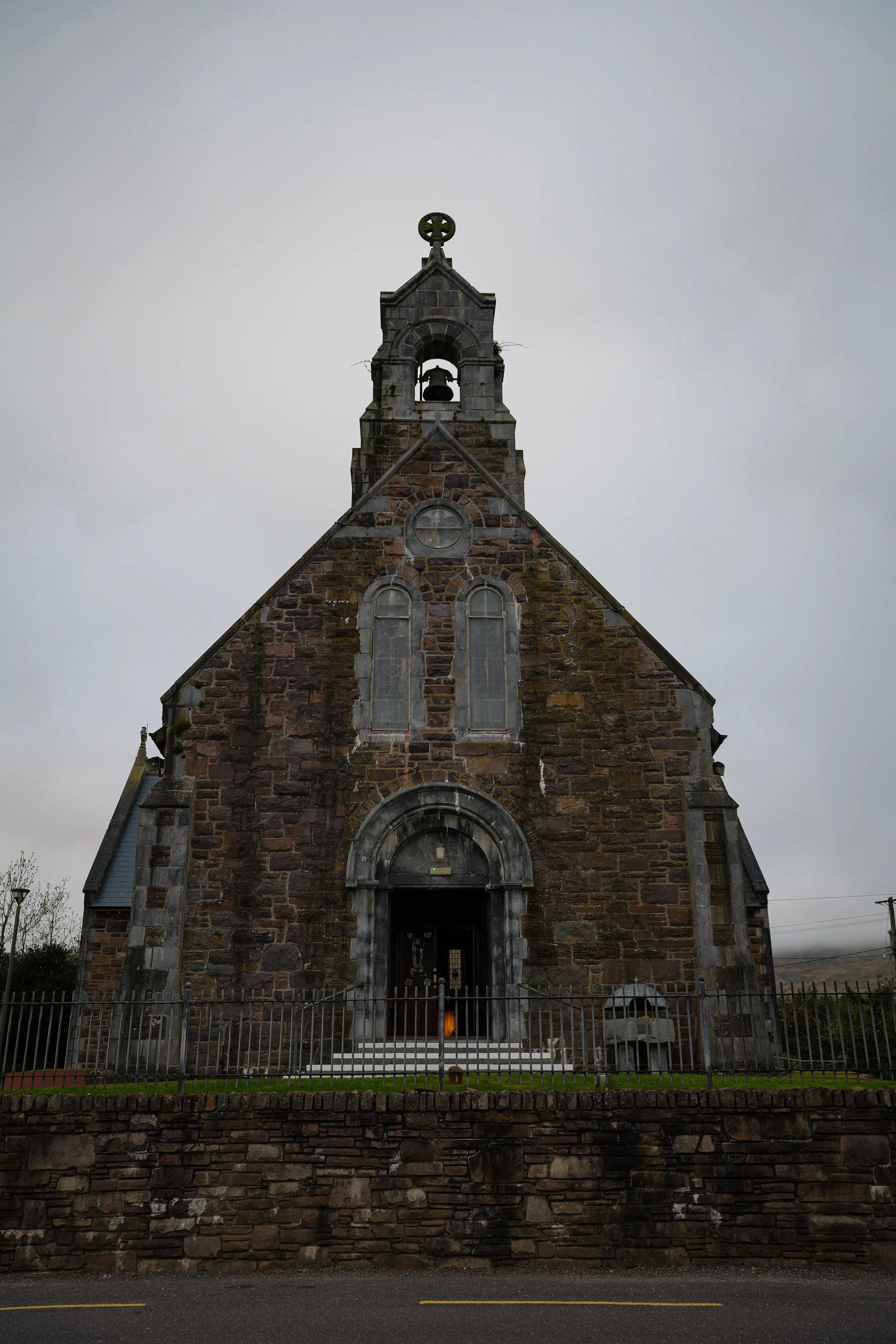
Best I could do in the circumstances. Sorry Cloghane.
Out of Cloghane I was back on tarmac for a stretch, quietly grateful there wasn't much worth filming so I could keep my head down. The knee, by now, had faded to background noise; the management was working and it had become less a problem than a travelling companion; though I was still wary of the size of this day which I'd have respected at full health, never mind on a leg that no longer wished to bend.
I reached Fermoyle Beach in the early morning.
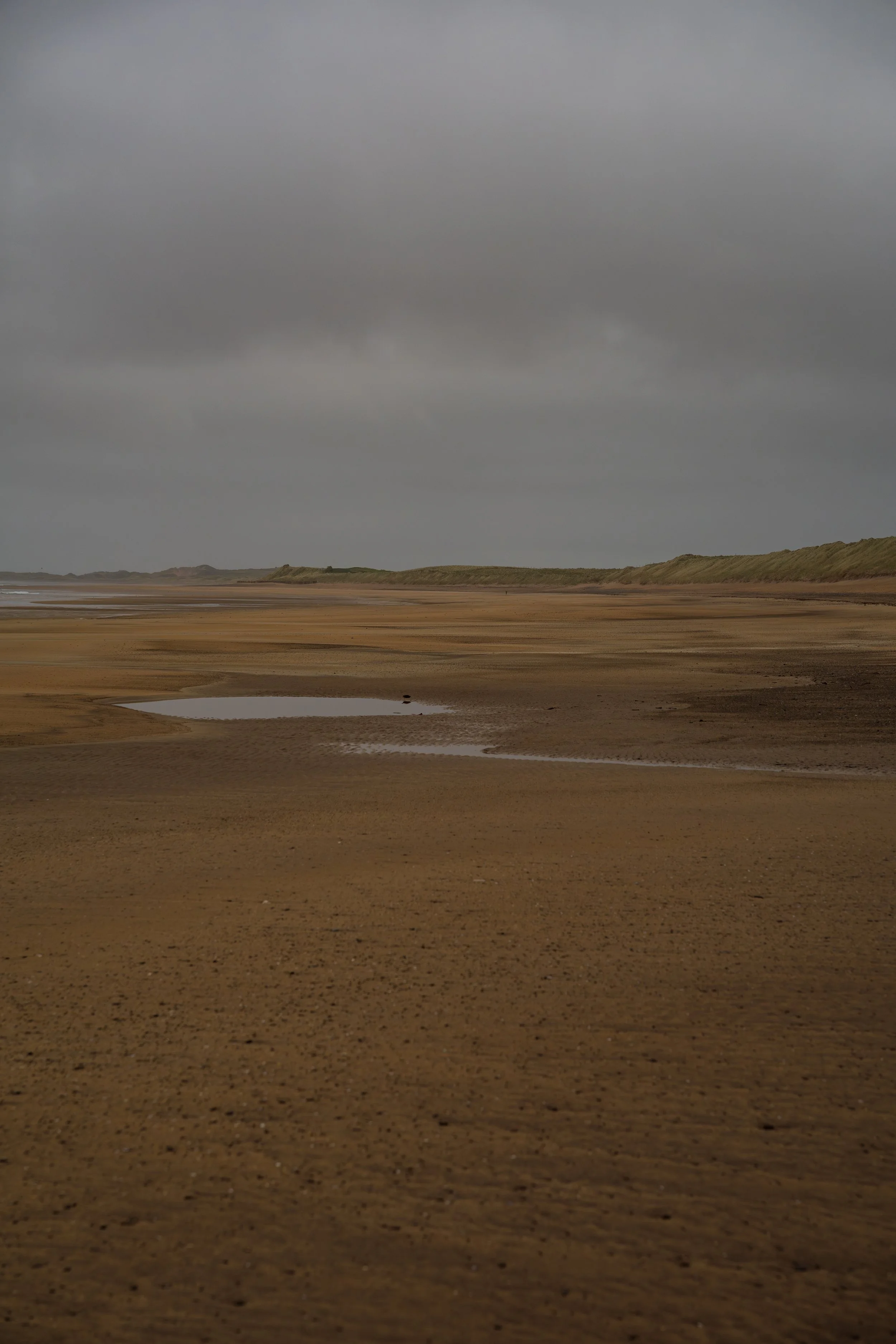
The isolation was something else.
I had kilometres of white sand entirely to myself, for hours. The strand was strewn with more washed-up crabs than I'd ever seen in my life - so many that the B&B owner in Camp later told me it was nothing like normal for the area. The walking turned meditative in the way only a long beach can: with the same frame in front of you for hours it becomes impossible to judge distance at all, and the only marker of time is the faint tinnitus building in the ear that's been turned to the roar of the ocean too long.
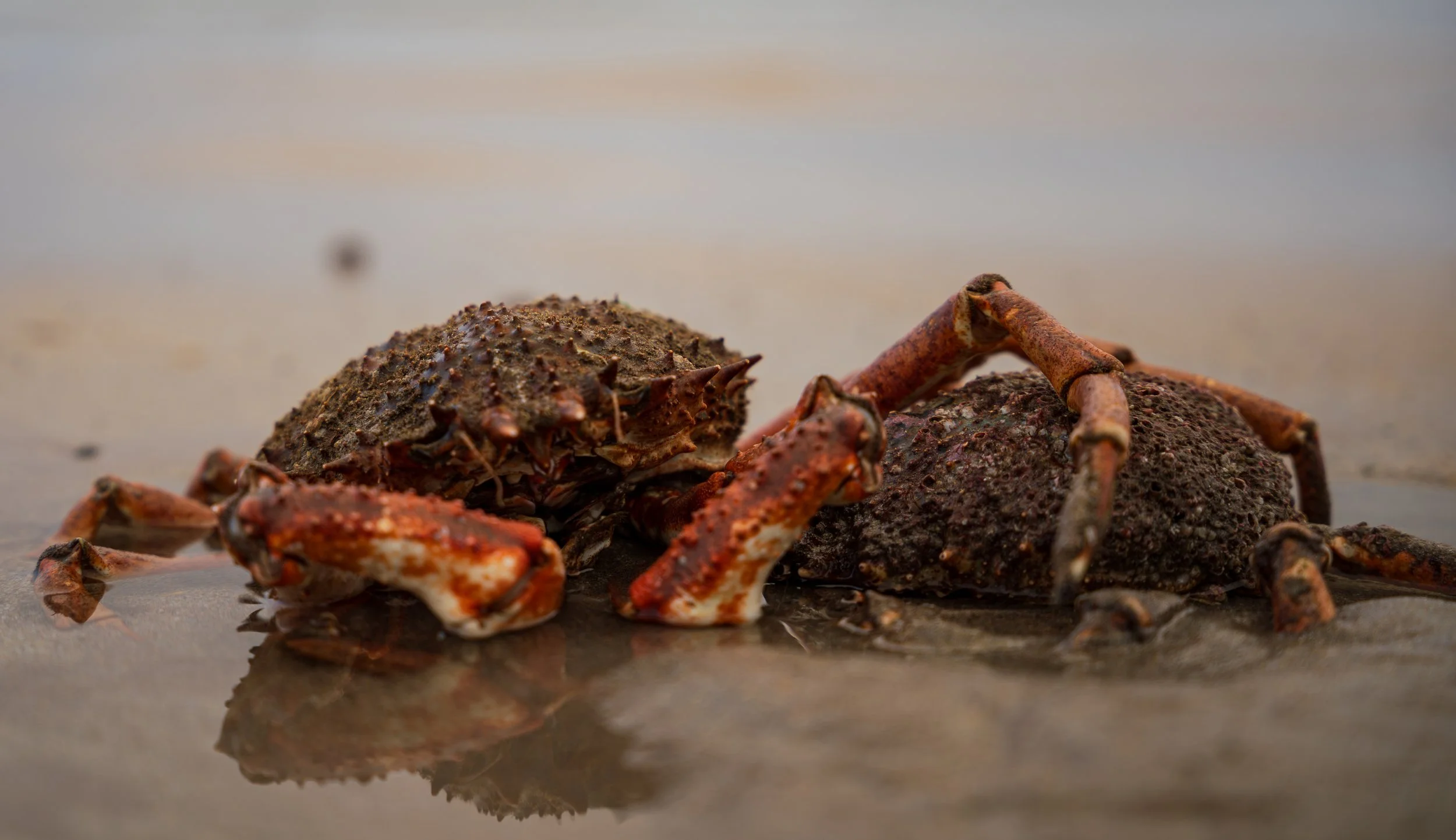
Even hard shells need a friend with an arm around the shoulders.
The plan was to push on to Fahamore in the Maharees and have lunch at Spillane's - which, as is now tradition, was shut. That left me in a slight pickle, having eaten next to nothing since saying goodbye to the couple in Brandon the day before, with only the dregs of my snacks left in my pack: a Nature Valley bar and an energy gel.
This may have coloured how I perceived the Maharees as I walked through, but the place struck me as genuinely solemn - a physical threshold as a thin spit of land reaching out into the Atlantic, but also a liminal space where cows graze on grass in the sand, beach and farm blurring into one another. Slightly trance-inducing; there was a weight to it. I can't say how much of that was a man marching on an empty stomach with the Guinness long since burned off for calories, but not all of it, I think; passing the memorials to lost soldiers and fishermen puts you in a certain frame regardless.
I can run on low fuel - my body has a knack for not needing to stop much - but I was leaning hard on that knack now as I came round the headland, the beach turning from sand to stone.
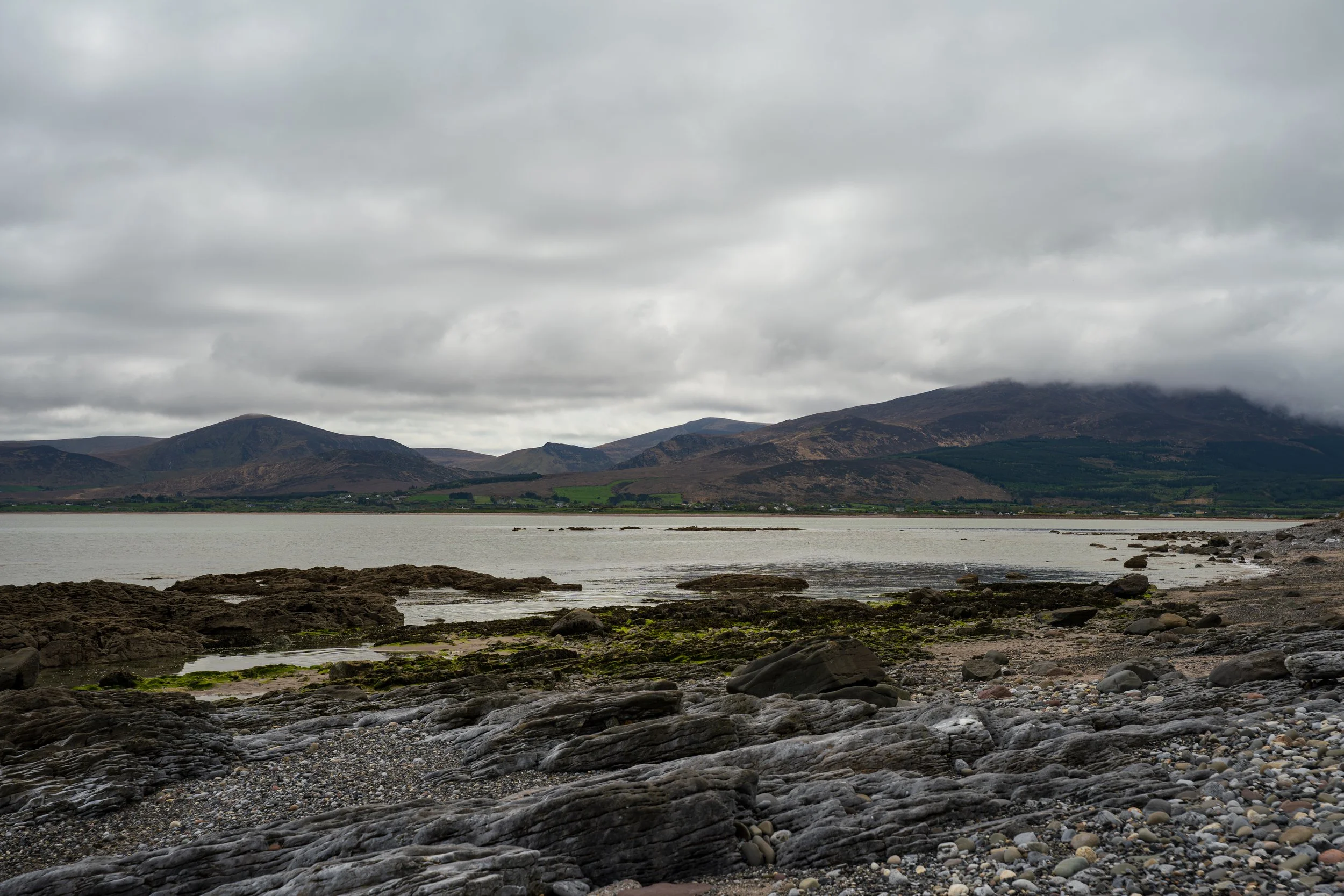
Nearly there.
Castlegregory, I knew, was where I could finally restock, and I stole into the Spar and bought far too much - "can you throw in a jambon in the bag too, please?" - including a fresh box of Nature Valley bars, as though some panicked part of my brain was convinced the last ten kilometres into Camp would somehow need to be better provisioned than the thirty before them.
The beach beyond was beautiful and nerve-wracking in equal measure: I could see the tide pushing in, and every blind headland became a small poker game of what's-around-the-corner.
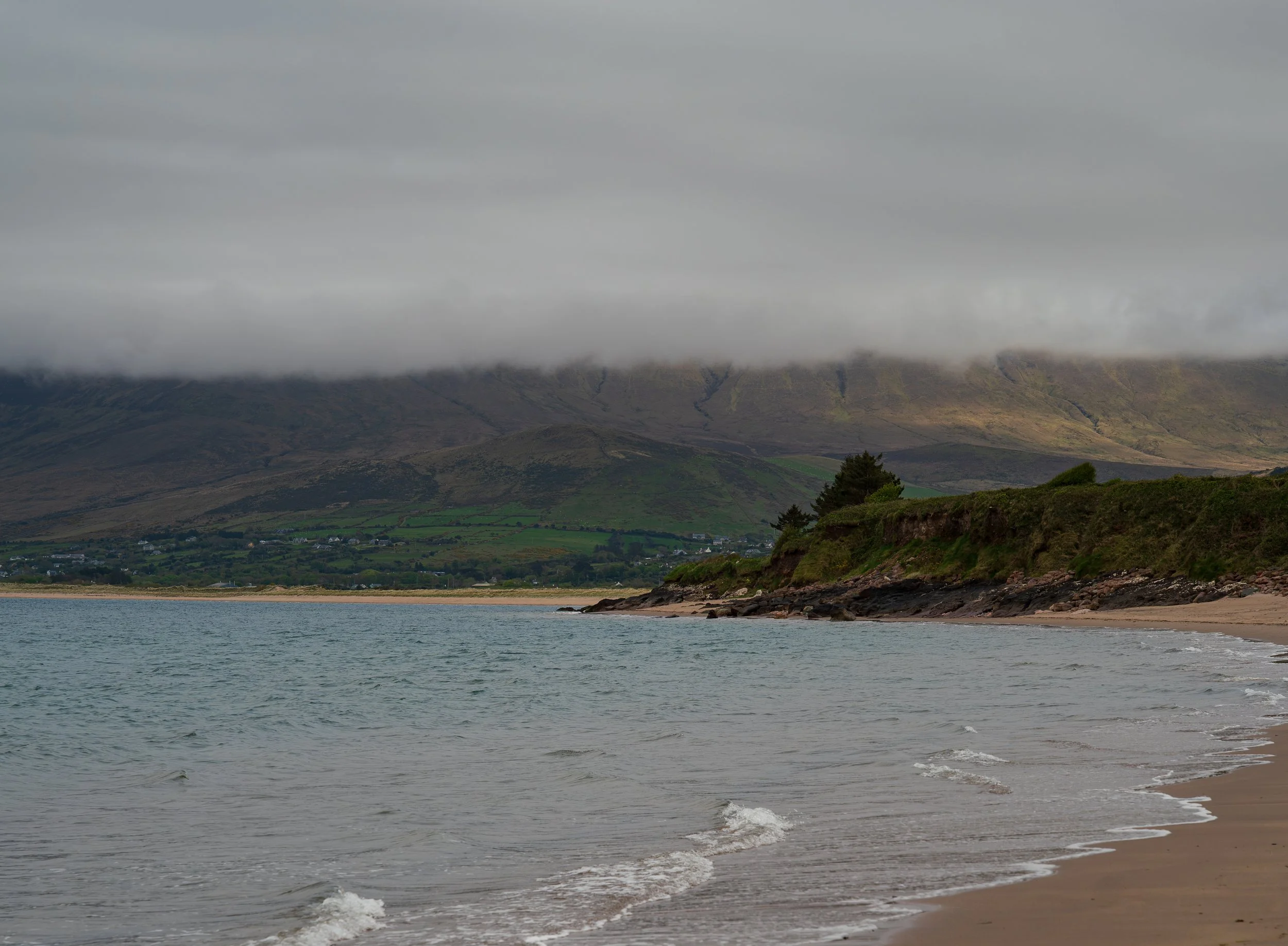
Would you chance it to see what’s next?
After filming myself walking up to one of these juts, the water lapping impatiently at my feet with nowhere left to go really, I made the call to bail out onto the main road - faster on tarmac, a straighter and shorter line into Camp, and open enough that even busy it'd surely be fine.
Do not take the main road. It was ropey as all hell.
The oncoming cars did their best to leave room, but they had a habit of coming at you in threes. You're left praying the first one indicates and the two behind are paying attention. I lost count of the times I stepped off onto the berm or into the hedgerow. To be fair, the drivers were genuinely trying to cater for this idiot walking the road in a luminous safety-orange top. A human traffic cone, what was I like. But I was moving so slowly that every supposed advantage of the road evaporated. I dropped back onto the beach the moment I could, where it had mercifully opened out into dunes and soft sand again.
I left the strand at Camp and climbed the sharp hill-climb back up to the trail I'd stepped off on Day 2, crossed the River Finglas again and there it was: the Junction Bar, where this had all more or less begun.
I ate in the cool outside, partly for the evening and partly to spare the other patrons of my dishevelled state. I made good friends with the faintly manic resident Border Collie who wanted nothing from life but for someone to throw a ball forever, and then I fell in the door of the B&B and went straight to the shower, and to bed.
I swear he was just moving too fast to be in focus. Not my dodgy camera work, no.
Epilogue
If you're wondering why I said to take eight days instead of seven in the intro… day seven is why. Don't do a 40km final day on a dodgy knee. That last stretch took everything I had, physically and otherwise - and that, oddly, is exactly why I hike.
We live in a world that insists everything is urgent. The headlines are horrifying, the urgency never stops, and the body responds the only way it knows how: a chronic fight-or-flight state, bracing against a threat it can't see and can't fix, with nowhere to run.
On the trail, all of that washes off.
Not because the walking is easy (it clearly wasn't) but because the only problems left are real ones, right in front of you. Where do I put my foot on this descent with a dodgy knee. Where do I find food. How do I get around this headland before the tide does. You don't get to feel vaguely anxious about a real problem; you just have to solve it, and the solving is what melts the rest away.
I seem to need these honest stressors to recalibrate against the invented ones. The knee was the same - it went from a drama, to a thing to be managed, to a story worth telling. Control what you can control; make peace with the rest. A wrecked tendon on a mountain in Kerry turns out to be a fairly good teacher of that.
Always look back. It's an anchor. I hadn't really fully noticed what I was doing until writing this, ironically.
Spend too long looking only forward, mission-orientated on the next thing, and you miss half of what's actually around you; you forget where you came from, and who you brought with you, and who helped you to get there. So I keep turning round on the trail to see the ground I've covered, the same way I find myself looking back fondly now on eight years and the people in them. You need the reference point. You need to be proud of the distance covered.
The Dingle Way gave me more than the reset I was hoping for. It gave me my best film yet, my first sponsor, a stack of new connections and a few hard-won skills. It gave me a closer bond with the people I chose to carry with me on it.
Was it an end, then? Everything is, really. That's generally how the next thing starts.
I'm still waiting for my Emmy. Hollywood, call me.
You can support me on Patreon: patreon.com/iainhikes.